Earthquake SOUTH OF BALI, INDONESIA
Fri, 18 Sep 2009 23:06:56 GMT
Time16 years ago
Location
-9.1700, 115.5800
Depth
64.0 KM
Event Summary
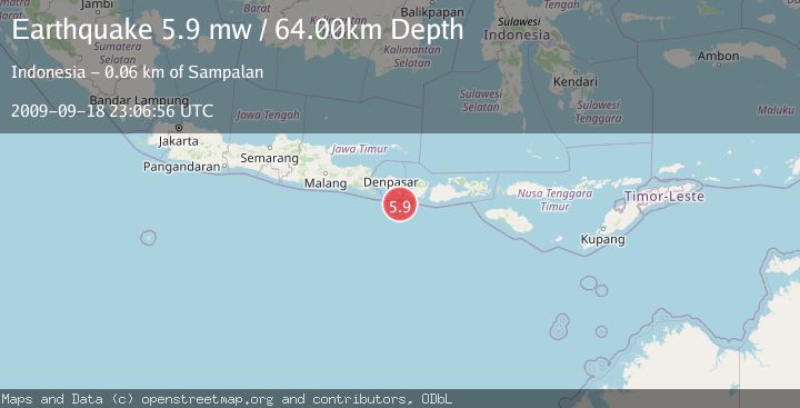
A 5.9 magnitude earthquake struck on SOUTH OF BALI, INDONESIA, at Fri, 18 Sep 2009 23:06:56 GMT. Depth: 64km. Reviewed by EMSC seismologists, this moderate quake occurred at a magnitude type of mw.
Magnitude
5.9
mw
Source
EMSC
Intensity
-
Agency Reports
1 Sources| Source | Magnitude | Depth | Time |
|---|---|---|---|
| EMSCPrimary | 5.9 | 64 km | 16 years ago |
Earthquake Details
AutomaticEvent IDemsc_EMSC_20090918_0000063
Tsunami PotentialNo
Magnitude Typemw
Nearest Places
- Tanjung Bakung39.0 km
- Teluk Sedihing39.3 km
- Tukad Tumpanggintungan39.3 km
- Tukad Dere39.5 km
- Tukad Sengguhungan39.8 km
Comments
Join the discussion about this event.
Latest Earthquakes
2.0Mag
Kenai Peninsula, Alaska
Time1 minute ago
Depth72.27 km
SourceVYT (Automatic)
2.0Mag
Central Alaska
Time5 minutes ago
Depth216.92 km
SourceVYT (Automatic)
1.8Mag
Region Metropolitana, Chile
Time8 minutes ago
Depth14.89 km
SourceVYT (Automatic)
4.9Mag
Kepulauan Aru region, Indonesia
Time9 minutes ago
Depth0.00 km
SourceVYT (Automatic)
2.5Mag
Poland
Time9 minutes ago
Depth0.24 km
SourceVYT (Automatic)
Nearby Earthquakes
5.5Mag
SOUTH OF BALI, INDONESIA
Time3 years ago
Depth141.00 km
SourceEMSC (Automatic)
2.6Mag
South of Bali, Indonesia
Time3 weeks ago
Depth158.81 km
SourceBMKG (Automatic)
5.1Mag
SOUTH OF BALI, INDONESIA
Time14 years ago
Depth100.00 km
SourceEMSC (Automatic)
5.0Mag
SOUTH OF BALI, INDONESIA
Time7 years ago
Depth80.00 km
SourceEMSC (Automatic)
3.0Mag
SOUTH OF BALI, INDONESIA
Time1 month ago
Depth30.00 km
SourceBMKG (Automatic)