Earthquake BANDA SEA
Mon, 19 Oct 2009 22:18:16 GMT
Time16 years ago
Location
-6.8800, 124.0100
Depth
600.0 KM
Event Summary
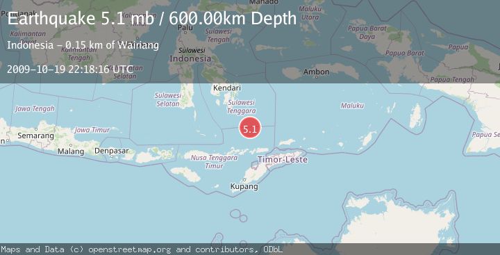
A 5.1 magnitude earthquake struck on BANDA SEA, at Mon, 19 Oct 2009 22:18:16 GMT. Depth: 600km. Reviewed by EMSC seismologists, this moderate quake occurred at a magnitude type of mb.
Magnitude
5.1
mb
Source
EMSC
Intensity
-
Agency Reports
1 Sources| Source | Magnitude | Depth | Time |
|---|---|---|---|
| EMSCPrimary | 5.1 | 600 km | 16 years ago |
Earthquake Details
AutomaticEvent IDemsc_EMSC_20091019_0000028
Tsunami PotentialNo
Magnitude Typemb
Nearest Places
- Tadu Seamount11.4 km
- Kadola Seamount56.0 km
- Skaro Moromaho Seamount58.6 km
- Skaro Kacil Seamount78.9 km
- Tanjung Barbara93.6 km
Comments
Join the discussion about this event.
Latest Earthquakes
0.8Mag
8 km NW of The Geysers, CA
Time3 minutes ago
Depth1.52 km
SourceUSGS (Automatic)
3.9Mag
Coquimbo, Chile
Time7 minutes ago
Depth26.98 km
SourceVYT (Automatic)
2.7Mag
near the coast of Tarapaca, Chile
Time15 minutes ago
Depth56.52 km
SourceVYT (Automatic)
3.8Mag
Molucca Sea
Time17 minutes ago
Depth47.00 km
SourceVYT (Automatic)
1.7Mag
4 km SE of San Ramon, CA
Time17 minutes ago
Depth7.10 km
SourceUSGS (Automatic)
Nearby Earthquakes
5.2Mag
BANDA SEA
Time5 years ago
Depth593.00 km
SourceEMSC (Automatic)
4.0Mag
BANDA SEA
Time2 years ago
Depth586.00 km
SourceBMKG (Automatic)
5.5Mag
BANDA SEA
Time21 years ago
Depth399.00 km
SourceEMSC (Automatic)
5.4Mag
BANDA SEA
Time11 years ago
Depth554.00 km
SourceEMSC (Automatic)
5.2Mag
BANDA SEA
Time14 years ago
Depth648.00 km
SourceEMSC (Automatic)