Earthquake KEPULAUAN BABAR, INDONESIA
Mon, 09 Nov 2009 19:41:27 GMT
Time16 years ago
Location
-7.1800, 129.2800
Depth
176.0 KM
Event Summary
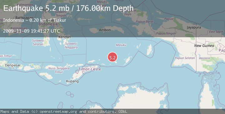
A 5.2 magnitude earthquake struck on KEPULAUAN BABAR, INDONESIA, at Mon, 09 Nov 2009 19:41:27 GMT. Depth: 176km. Reviewed by EMSC seismologists, this moderate quake occurred at a magnitude type of mb.
Magnitude
5.2
mb
Source
EMSC
Intensity
-
Agency Reports
1 Sources| Source | Magnitude | Depth | Time |
|---|---|---|---|
| EMSCPrimary | 5.2 | 176 km | 16 years ago |
Earthquake Details
AutomaticEvent IDemsc_EMSC_20091109_0000035
Tsunami PotentialNo
Magnitude Typemb
Nearest Places
- Isu25.8 km
- Watludan26.0 km
- Pulau-pulau Damar26.5 km
- Layoni27.0 km
- Pulau Teun27.6 km
Comments
Join the discussion about this event.
Latest Earthquakes
4.5Mag
North of Halmahera, Indonesia
Time7 minutes ago
Depth10.00 km
SourceBMKG
3.1Mag
Bali Region, Indonesia
Time13 minutes ago
Depth19.14 km
SourceBMKG
2.7Mag
Coquimbo, Chile
Time14 minutes ago
Depth14.16 km
SourceVYT (Automatic)
1.7Mag
Southeastern Alaska
Time17 minutes ago
Depth5.98 km
SourceVYT (Automatic)
2.1Mag
Tarapaca, Chile
Time18 minutes ago
Depth110.35 km
SourceVYT (Automatic)
Nearby Earthquakes
4.0Mag
KEPULAUAN BABAR, INDONESIA
Time2 years ago
Depth149.50 km
SourceNEIC (Automatic)
4.0Mag
KEPULAUAN BABAR, INDONESIA
Time1 month ago
Depth189.00 km
SourceBMKG (Automatic)
5.2Mag
KEPULAUAN BABAR, INDONESIA
Time13 years ago
Depth166.00 km
SourceEMSC (Automatic)
5.5Mag
KEPULAUAN BABAR, INDONESIA
Time2 years ago
Depth138.00 km
SourceEMSC (Automatic)
5.0Mag
KEPULAUAN BABAR, INDONESIA
Time10 years ago
Depth200.00 km
SourceEMSC (Automatic)