Earthquake KEPULAUAN BABAR, INDONESIA
Mon, 05 Mar 2012 12:45:44 GMT
Time13 years ago
Location
-7.1400, 129.2700
Depth
166.0 KM
Event Summary
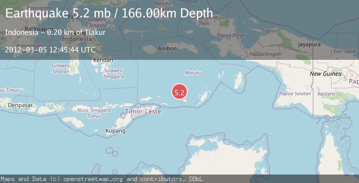
A 5.2 magnitude earthquake struck on KEPULAUAN BABAR, INDONESIA, at Mon, 05 Mar 2012 12:45:44 GMT. Depth: 166km. Reviewed by EMSC seismologists, this moderate quake occurred at a magnitude type of mb.
Magnitude
5.2
mb
Source
EMSC
Intensity
-
Agency Reports
1 Sources| Source | Magnitude | Depth | Time |
|---|---|---|---|
| EMSCPrimary | 5.2 | 166 km | 13 years ago |
Earthquake Details
AutomaticEvent IDemsc_EMSC_20120305_0000031
Tsunami PotentialNo
Magnitude Typemb
Nearest Places
- Isu21.6 km
- Watludan21.6 km
- Pulau-pulau Damar22.2 km
- Layoni22.9 km
- Pulau Teun23.3 km
Comments
Join the discussion about this event.
Latest Earthquakes
3.4Mag
San Juan, Argentina
Time7 minutes ago
Depth10.00 km
SourceVYT (Automatic)
3.0Mag
Potosi, Bolivia
Time9 minutes ago
Depth269.04 km
SourceVYT (Automatic)
2.4Mag
Central Alaska
Time11 minutes ago
Depth0.24 km
SourceVYT (Automatic)
3.7Mag
Seram, Indonesia
Time11 minutes ago
Depth0.00 km
SourceVYT (Automatic)
3.9Mag
North of Halmahera, Indonesia
Time12 minutes ago
Depth14.71 km
SourceBMKG
Nearby Earthquakes
4.3Mag
KEPULAUAN BABAR, INDONESIA
Time1 month ago
Depth170.00 km
SourceEMSC (Automatic)
5.0Mag
KEPULAUAN BABAR, INDONESIA
Time10 years ago
Depth200.00 km
SourceEMSC (Automatic)
4.0Mag
KEPULAUAN BABAR, INDONESIA
Time1 month ago
Depth189.00 km
SourceBMKG (Automatic)
5.1Mag
KEPULAUAN BABAR, INDONESIA
Time17 years ago
Depth164.00 km
SourceEMSC (Automatic)
5.2Mag
KEPULAUAN BABAR, INDONESIA
Time16 years ago
Depth176.00 km
SourceEMSC (Automatic)