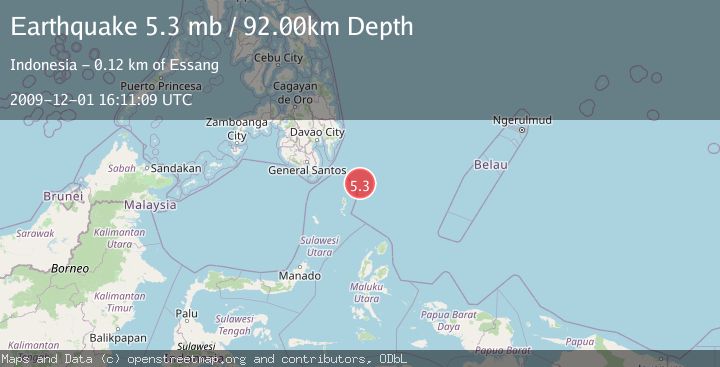
Earthquake PHILIPPINE ISLANDS REGION
Tue, 01 Dec 2009 16:11:09 GMT
Time16 years ago
Location
5.1500, 127.5100
Depth
92.0 KM
Event Summary
A 5.3 magnitude earthquake struck on PHILIPPINE ISLANDS REGION, at Tue, 01 Dec 2009 16:11:09 GMT. Depth: 92km. Reviewed by EMSC seismologists, this moderate quake occurred at a magnitude type of mb.
Magnitude
5.3
mb
Source
EMSC
Intensity
-
Agency Reports
1 Sources| Source | Magnitude | Depth | Time |
|---|---|---|---|
| EMSCPrimary | 5.3 | 92 km | 16 years ago |
Earthquake Details
AutomaticEvent IDemsc_EMSC_20091201_0000019
Tsunami PotentialNo
Magnitude Typemb
Nearest Places
- Desa Marampit Timur60.0 km
- Desa Marampit60.5 km
- Kecamatan Nanusa61.2 km
- Pulau Marampit61.3 km
- Desa Dampulis61.4 km
Comments
Join the discussion about this event.
Latest Earthquakes
2.1Mag
Halmahera, Indonesia
Time23 hours ago
Depth4.45 km
SourceBMKG
3.4Mag
Talaud Islands, Indonesia
Time23 hours ago
Depth98.99 km
SourceBMKG
2.1Mag
Flores Region, Indonesia
Time23 hours ago
Depth165.90 km
SourceBMKG
2.4Mag
Sumbawa region, Indonesia
Time23 hours ago
Depth19.65 km
SourceVYT (Automatic)
2.1Mag
Poland
Time23 hours ago
Depth1.95 km
SourceVYT (Automatic)
Nearby Earthquakes
5.0Mag
PHILIPPINE ISLANDS REGION
Time1 year ago
Depth109.00 km
SourceEMSC (Automatic)
3.0Mag
PHILIPPINE ISLANDS REGION
Time1 year ago
Depth9.00 km
SourcePIVS (Automatic)
3.0Mag
PHILIPPINE ISLANDS REGION
Time8 months ago
Depth11.00 km
SourcePIVS (Automatic)
3.0Mag
PHILIPPINE ISLANDS REGION
Time4 years ago
Depth50.00 km
SourcePIVS (Automatic)
3.8Mag
PHILIPPINE ISLANDS REGION
Time1 month ago
Depth90.00 km
SourceBMKG (Automatic)