Earthquake KEPULAUAN SANGIHE, INDONESIA
Thu, 17 Dec 2009 04:41:55 GMT
Time16 years ago
Location
3.1500, 125.7500
Depth
147.0 KM
Event Summary
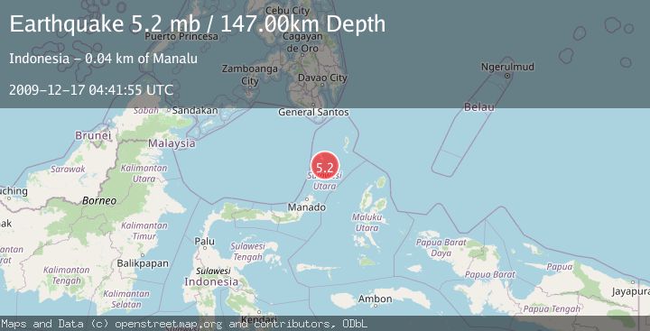
A 5.2 magnitude earthquake struck on KEPULAUAN SANGIHE, INDONESIA, at Thu, 17 Dec 2009 04:41:55 GMT. Depth: 147km. Reviewed by EMSC seismologists, this moderate quake occurred at a magnitude type of mb.
Magnitude
5.2
mb
Source
EMSC
Intensity
-
Agency Reports
1 Sources| Source | Magnitude | Depth | Time |
|---|---|---|---|
| EMSCPrimary | 5.2 | 147 km | 16 years ago |
Earthquake Details
AutomaticEvent IDemsc_EMSC_20091217_0000014
Tsunami PotentialNo
Magnitude Typemb
Nearest Places
- Pulau-pulau Nenung11.9 km
- Pulau Batukolokolo12.7 km
- Pulau Batupaliaheng12.8 km
- Pulau Batukemba12.8 km
- Pulau Batuluha12.9 km
Comments
Join the discussion about this event.
Latest Earthquakes
1.7Mag
Poland
Time1 minute ago
Depth19.29 km
SourceVYT (Automatic)
1.4Mag
Southern Alaska
Time8 minutes ago
Depth0.00 km
SourceVYT (Automatic)
2.7Mag
West Papua, Indonesia
Time10 minutes ago
Depth10.00 km
SourceBMKG
1.7Mag
Unimak Island region, Alaska
Time11 minutes ago
Depth0.00 km
SourceVYT (Automatic)
1.1Mag
British Columbia, Canada
Time11 minutes ago
Depth6.35 km
SourceVYT (Automatic)
Nearby Earthquakes
5.0Mag
KEPULAUAN SANGIHE, INDONESIA
Time12 years ago
Depth150.00 km
SourceEMSC (Automatic)
3.1Mag
Talaud Islands, Indonesia
Time2 weeks ago
Depth18.23 km
SourceBMKG (Automatic)
4.4Mag
KEPULAUAN SANGIHE, INDONESIA
Time1 month ago
Depth130.00 km
SourceEMSC (Automatic)
4.0Mag
KEPULAUAN SANGIHE, INDONESIA
Time5 years ago
Depth92.00 km
SourcePIVS (Automatic)
5.2Mag
KEPULAUAN SANGIHE, INDONESIA
Time11 years ago
Depth128.00 km
SourceEMSC (Automatic)