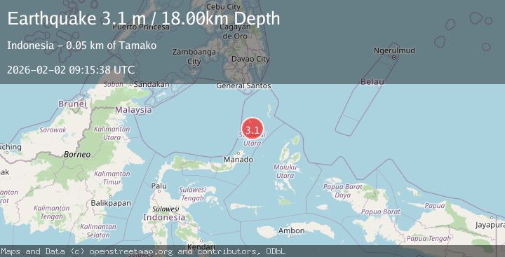
Earthquake Talaud Islands, Indonesia
Mon, 02 Feb 2026 09:15:38 GMT
Time11 hours ago
Location
3.0655, 125.7636
Depth
18.2 KM
Event Summary
A 3.1 magnitude earthquake struck on Talaud Islands, Indonesia, at Mon, 02 Feb 2026 09:15:38 GMT. Depth: 18.230957km. Reviewed by BMKG seismologists, this minor quake occurred at a magnitude type of M.
Magnitude
3.1
M
Source
BMKG
Intensity
-
Agency Reports
1 Sources| Source | Magnitude | Depth | Time |
|---|---|---|---|
| BMKGPrimary | 3.1 | 18 km | 11 hours ago |
Earthquake Details
AutomaticEvent IDbmg2026chel
Tsunami PotentialNo
Magnitude TypeM
Nearest Places
- Pulau Batukemba9.6 km
- Pulau Batuluha9.7 km
- Pulau Batupuntieng9.8 km
- Pulau Batukolokolo10.0 km
- Pulau Batupaliaheng10.0 km
Comments
Join the discussion about this event.
Latest Earthquakes
1.3Mag
6 km NNE of Running Springs, CA
Time11 hours ago
Depth7.28 km
SourceUSGS (Automatic)
4.0Mag
CHIAPAS, MEXICO
Time11 hours ago
Depth172.10 km
SourceUNM (Automatic)
3.5Mag
OFF COAST OF VALPARAISO, CHILE
Time11 hours ago
Depth14.60 km
SourceCSN (Automatic)
1.2Mag
28 km NE of Four Mile Road, Alaska
Time11 hours ago
Depth5.00 km
SourceUSGS (Automatic)
2.1Mag
Northern Sumatra, Indonesia
Time11 hours ago
Depth2.00 km
SourceBMKG (Automatic)
Nearby Earthquakes
3.0Mag
Talaud Islands, Indonesia
Time1 week ago
Depth117.70 km
SourceBMKG (Automatic)
3.1Mag
Northern Molucca Sea
Time1 week ago
Depth61.58 km
SourceBMKG (Automatic)
3.0Mag
Talaud Islands, Indonesia
Time1 day ago
Depth87.88 km
SourceBMKG (Automatic)
3.0Mag
Northern Molucca Sea
Time1 day ago
Depth7.40 km
SourceBMKG (Automatic)
3.6Mag
Talaud Islands, Indonesia
Time2 days ago
Depth122.10 km
SourceBMKG (Automatic)