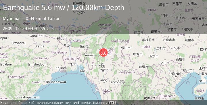
Earthquake MYANMAR-INDIA BORDER REGION
Tue, 29 Dec 2009 09:01:55 GMT
Time16 years ago
Location
24.4200, 94.8600
Depth
120.0 KM
Event Summary
A 5.6 magnitude earthquake struck on MYANMAR-INDIA BORDER REGION, at Tue, 29 Dec 2009 09:01:55 GMT. Depth: 120km. Reviewed by EMSC seismologists, this moderate quake occurred at a magnitude type of mw.
Magnitude
5.6
mw
Source
EMSC
Intensity
-
Agency Reports
1 Sources| Source | Magnitude | Depth | Time |
|---|---|---|---|
| EMSCPrimary | 5.6 | 120 km | 16 years ago |
Earthquake Details
AutomaticEvent IDemsc_EMSC_20091229_0000016
Tsunami PotentialNo
Magnitude Typemw
Nearest Places
- 2.6 km
- 3.0 km
- 3.0 km
- 3.3 km
- 3.8 km
Comments
Join the discussion about this event.
Latest Earthquakes
2.6Mag
Java, Indonesia
Time6 minutes ago
Depth4.92 km
SourceBMKG
0.4Mag
1 km NW of The Geysers, CA
Time8 minutes ago
Depth3.94 km
SourceUSGS (Automatic)
4.2Mag
West Papua, Indonesia
Time10 minutes ago
Depth117.65 km
SourceBMKG
3.8Mag
Papua, Indonesia
Time10 minutes ago
Depth33.81 km
SourceVYT (Automatic)
3.4Mag
South of Java, Indonesia
Time11 minutes ago
Depth10.00 km
SourceBMKG
Nearby Earthquakes
5.1Mag
MYANMAR-INDIA BORDER REGION
Time11 months ago
Depth112.00 km
SourceEMSC (Automatic)
5.9Mag
MYANMAR-INDIA BORDER REGION
Time16 years ago
Depth100.00 km
SourceEMSC (Automatic)
5.5Mag
MYANMAR-INDIA BORDER REGION
Time16 years ago
Depth92.00 km
SourceEMSC (Automatic)
5.1Mag
MYANMAR-INDIA BORDER REGION
Time11 years ago
Depth100.00 km
SourceEMSC (Automatic)
5.4Mag
MYANMAR-INDIA BORDER REGION
Time21 years ago
Depth33.00 km
SourceEMSC (Automatic)