Earthquake SOUTH OF KERMADEC ISLANDS
Sun, 14 Feb 2010 03:04:53 GMT
Time16 years ago
Location
-33.2600, -179.3500
Depth
80.0 KM
Event Summary
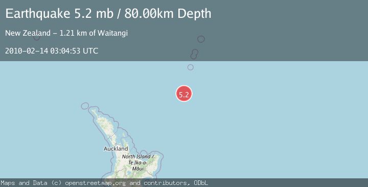
A 5.2 magnitude earthquake struck on SOUTH OF KERMADEC ISLANDS, at Sun, 14 Feb 2010 03:04:53 GMT. Depth: 80km. Reviewed by EMSC seismologists, this moderate quake occurred at a magnitude type of mb.
Magnitude
5.2
mb
Source
EMSC
Intensity
-
Agency Reports
1 Sources| Source | Magnitude | Depth | Time |
|---|---|---|---|
| EMSCPrimary | 5.2 | 80 km | 16 years ago |
Earthquake Details
AutomaticEvent IDemsc_EMSC_20100214_0000002
Tsunami PotentialNo
Magnitude Typemb
Nearest Places
- Kuiwai Seamount54.1 km
- Haungaroa Seamount75.9 km
- Ngātoroirangi Seamount95.2 km
- Star of Bengal Bank96.6 km
- Speight Knoll99.6 km
Comments
Join the discussion about this event.
Latest Earthquakes
2.0Mag
northwestern Russia
Time3 minutes ago
Depth0.00 km
SourceVYT (Automatic)
4.7Mag
Molucca Sea
Time4 minutes ago
Depth0.00 km
SourceVYT (Automatic)
1.3Mag
Central Alaska
Time10 minutes ago
Depth10.00 km
SourceVYT (Automatic)
2.2Mag
FRANCE
Time11 minutes ago
Depth5.00 km
SourceReNaSS (Automatic)
2.3Mag
Minahassa Peninsula, Sulawesi
Time12 minutes ago
Depth10.00 km
SourceBMKG
Nearby Earthquakes
5.0Mag
SOUTH OF KERMADEC ISLANDS
Time2 years ago
Depth10.00 km
SourceEMSC (Automatic)
5.6Mag
SOUTH OF KERMADEC ISLANDS
Time7 years ago
Depth10.00 km
SourceEMSC (Automatic)
5.4Mag
SOUTH OF KERMADEC ISLANDS
Time20 years ago
Depth118.00 km
SourceEMSC (Automatic)
5.4Mag
SOUTH OF KERMADEC ISLANDS
Time11 years ago
Depth48.00 km
SourceEMSC (Automatic)
5.3Mag
SOUTH OF KERMADEC ISLANDS
Time17 years ago
Depth46.00 km
SourceEMSC (Automatic)