Earthquake SOUTH OF KERMADEC ISLANDS
Sun, 24 Aug 2008 05:23:45 GMT
Time17 years ago
Location
-33.1600, -179.2900
Depth
46.0 KM
Event Summary
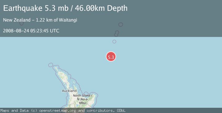
A 5.3 magnitude earthquake struck on SOUTH OF KERMADEC ISLANDS, at Sun, 24 Aug 2008 05:23:45 GMT. Depth: 46km. Reviewed by EMSC seismologists, this moderate quake occurred at a magnitude type of mb.
Magnitude
5.3
mb
Source
EMSC
Intensity
-
Agency Reports
1 Sources| Source | Magnitude | Depth | Time |
|---|---|---|---|
| EMSCPrimary | 5.3 | 46 km | 17 years ago |
Earthquake Details
AutomaticEvent IDemsc_EMSC_20080824_0000043
Tsunami PotentialNo
Magnitude Typemb
Nearest Places
- Kuiwai Seamount58.7 km
- Haungaroa Seamount68.1 km
- Star of Bengal Bank84.5 km
- Speight Knoll90.4 km
- Oliver Knoll92.3 km
Comments
Join the discussion about this event.
Latest Earthquakes
3.1Mag
Timor Sea
Time3 minutes ago
Depth92.16 km
SourceVYT (Automatic)
2.5Mag
Timor Region
Time11 minutes ago
Depth11.14 km
SourceBMKG
1.2Mag
2 km N of Loma Linda, CA
Time12 minutes ago
Depth11.22 km
SourceUSGS (Automatic)
3.2Mag
Alaska Peninsula
Time12 minutes ago
Depth10.00 km
SourceVYT (Automatic)
4.3Mag
Southwest of Sumatra, Indonesia
Time16 minutes ago
Depth11.58 km
SourceBMKG
Nearby Earthquakes
5.4Mag
SOUTH OF KERMADEC ISLANDS
Time18 years ago
Depth20.00 km
SourceEMSC (Automatic)
5.4Mag
SOUTH OF KERMADEC ISLANDS
Time20 years ago
Depth118.00 km
SourceEMSC (Automatic)
5.4Mag
SOUTH OF KERMADEC ISLANDS
Time4 years ago
Depth44.00 km
SourceEMSC (Automatic)
5.6Mag
SOUTH OF KERMADEC ISLANDS
Time7 years ago
Depth10.00 km
SourceEMSC (Automatic)
5.0Mag
SOUTH OF KERMADEC ISLANDS
Time2 years ago
Depth10.00 km
SourceEMSC (Automatic)