Earthquake SOUTH OF KERMADEC ISLANDS
Thu, 23 Oct 2014 12:18:33 GMT
Time11 years ago
Location
-33.2900, -179.2500
Depth
48.0 KM
Event Summary
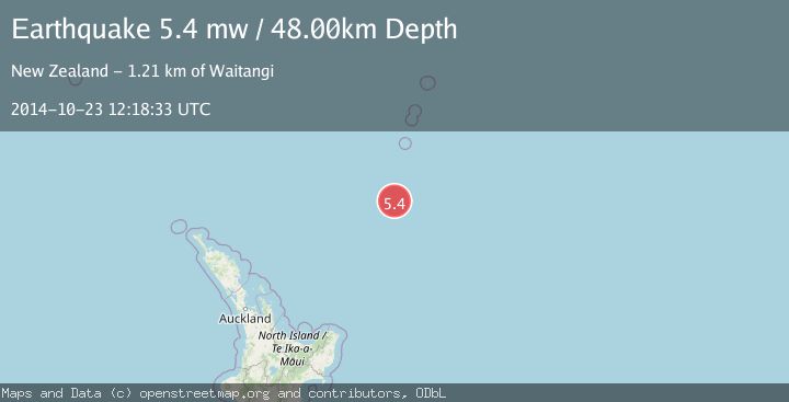
A 5.4 magnitude earthquake struck on SOUTH OF KERMADEC ISLANDS, at Thu, 23 Oct 2014 12:18:33 GMT. Depth: 48km. Reviewed by EMSC seismologists, this moderate quake occurred at a magnitude type of mw.
Magnitude
5.4
mw
Source
EMSC
Intensity
-
Agency Reports
1 Sources| Source | Magnitude | Depth | Time |
|---|---|---|---|
| EMSCPrimary | 5.4 | 48 km | 11 years ago |
Earthquake Details
AutomaticEvent IDemsc_EMSC_20141023_0000043
Tsunami PotentialNo
Magnitude Typemw
Nearest Places
- Kuiwai Seamount63.9 km
- Haungaroa Seamount82.6 km
- Star of Bengal Bank98.1 km
- Ngātoroirangi Seamount101.3 km
- Speight Knoll105.3 km
Comments
Join the discussion about this event.
Latest Earthquakes
3.1Mag
Timor region, Indonesia
Time2 minutes ago
Depth135.01 km
SourceVYT (Automatic)
2.5Mag
Timor Region
Time9 minutes ago
Depth11.14 km
SourceBMKG
1.2Mag
2 km N of Loma Linda, CA
Time10 minutes ago
Depth11.22 km
SourceUSGS (Automatic)
3.2Mag
Alaska Peninsula
Time11 minutes ago
Depth10.00 km
SourceVYT (Automatic)
4.3Mag
Southwest of Sumatra, Indonesia
Time15 minutes ago
Depth11.58 km
SourceBMKG
Nearby Earthquakes
5.2Mag
SOUTH OF KERMADEC ISLANDS
Time16 years ago
Depth80.00 km
SourceEMSC (Automatic)
5.4Mag
SOUTH OF KERMADEC ISLANDS
Time18 years ago
Depth20.00 km
SourceEMSC (Automatic)
5.0Mag
SOUTH OF KERMADEC ISLANDS
Time2 years ago
Depth10.00 km
SourceEMSC (Automatic)
5.4Mag
SOUTH OF KERMADEC ISLANDS
Time20 years ago
Depth118.00 km
SourceEMSC (Automatic)
5.3Mag
SOUTH OF KERMADEC ISLANDS
Time17 years ago
Depth46.00 km
SourceEMSC (Automatic)