Earthquake SOUTH OF KERMADEC ISLANDS
Tue, 23 Mar 2010 06:33:25 GMT
Time15 years ago
Location
-33.9500, -178.3700
Depth
10.0 KM
Event Summary
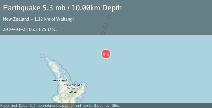
A 5.3 magnitude earthquake struck on SOUTH OF KERMADEC ISLANDS, at Tue, 23 Mar 2010 06:33:25 GMT. Depth: 10km. Reviewed by EMSC seismologists, this moderate quake occurred at a magnitude type of mb.
Magnitude
5.3
mb
Source
EMSC
Intensity
-
Agency Reports
1 Sources| Source | Magnitude | Depth | Time |
|---|---|---|---|
| EMSCPrimary | 5.3 | 10 km | 15 years ago |
Earthquake Details
AutomaticEvent IDemsc_EMSC_20100323_0000009
Tsunami PotentialNo
Magnitude Typemb
Nearest Places
- Kuiwai Seamount168.2 km
- Ngātoroirangi Seamount171.0 km
- Star of Bengal Bank183.5 km
- Haungaroa Seamount188.8 km
- Ron Brown Ridge206.5 km
Comments
Join the discussion about this event.
Latest Earthquakes
2.4Mag
Finland
Time3 minutes ago
Depth2.32 km
SourceVYT (Automatic)
1.9Mag
Central Alaska
Time4 minutes ago
Depth0.00 km
SourceVYT (Automatic)
1.9Mag
northern Alaska
Time8 minutes ago
Depth10.00 km
SourceVYT (Automatic)
0.9Mag
Washington
Time8 minutes ago
Depth0.00 km
SourceVYT (Automatic)
3.1Mag
Savu Sea
Time12 minutes ago
Depth119.50 km
SourceBMKG
Nearby Earthquakes
5.1Mag
SOUTH OF KERMADEC ISLANDS
Time8 years ago
Depth10.00 km
SourceEMSC (Automatic)
5.2Mag
SOUTH OF KERMADEC ISLANDS
Time9 years ago
Depth10.00 km
SourceEMSC (Automatic)
5.4Mag
SOUTH OF KERMADEC ISLANDS
Time5 years ago
Depth10.00 km
SourceEMSC (Automatic)
5.3Mag
SOUTH OF KERMADEC ISLANDS
Time5 years ago
Depth12.00 km
SourceEMSC (Automatic)
5.3Mag
SOUTH OF KERMADEC ISLANDS
Time3 years ago
Depth10.00 km
SourceEMSC (Automatic)