Earthquake SUNDA STRAIT, INDONESIA
Wed, 19 May 2010 00:13:21 GMT
Time15 years ago
Location
-6.7100, 105.1500
Depth
34.0 KM
Event Summary
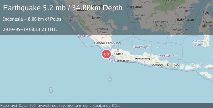
A 5.2 magnitude earthquake struck on SUNDA STRAIT, INDONESIA, at Wed, 19 May 2010 00:13:21 GMT. Depth: 34km. Reviewed by EMSC seismologists, this moderate quake occurred at a magnitude type of mb.
Magnitude
5.2
mb
Source
EMSC
Intensity
-
Agency Reports
1 Sources| Source | Magnitude | Depth | Time |
|---|---|---|---|
| EMSCPrimary | 5.2 | 34 km | 15 years ago |
Earthquake Details
AutomaticEvent IDemsc_EMSC_20100519_0000002
Tsunami PotentialNo
Magnitude Typemb
Nearest Places
- Pulau Karangjajar3.5 km
- Tanjung Karangjajar4.0 km
- Tanjung Karangburung5.2 km
- Pulau Batuputih6.1 km
- Pulau Karangtikukur6.1 km
Comments
Join the discussion about this event.
Latest Earthquakes
1.2Mag
Central Alaska
Time10 hours ago
Depth68.97 km
SourceVYT (Automatic)
1.2Mag
Washington
Time10 hours ago
Depth0.00 km
SourceVYT (Automatic)
0.8Mag
10 km WNW of The Geysers, CA
Time11 hours ago
Depth1.96 km
SourceUSGS (Automatic)
2.4Mag
Sumbawa region, Indonesia
Time11 hours ago
Depth111.45 km
SourceVYT (Automatic)
2.3Mag
NORTHERN CALIFORNIA
Time11 hours ago
Depth2.90 km
SourceNC (Automatic)
Nearby Earthquakes
5.1Mag
SUNDA STRAIT, INDONESIA
Time7 years ago
Depth60.00 km
SourceEMSC (Automatic)
4.0Mag
SUNDA STRAIT, INDONESIA
Time2 years ago
Depth10.00 km
SourceBMKG (Automatic)
3.0Mag
SUNDA STRAIT, INDONESIA
Time2 years ago
Depth21.00 km
SourceBMKG (Automatic)
3.0Mag
SUNDA STRAIT, INDONESIA
Time2 months ago
Depth13.00 km
SourceBMKG (Automatic)
2.7Mag
Sunda Strait, Indonesia
Time6 days ago
Depth1.67 km
SourceBMKG