Earthquake HALMAHERA, INDONESIA
Wed, 16 Jun 2010 12:24:43 GMT
Time15 years ago
Location
2.6800, 128.5100
Depth
40.0 KM
Event Summary
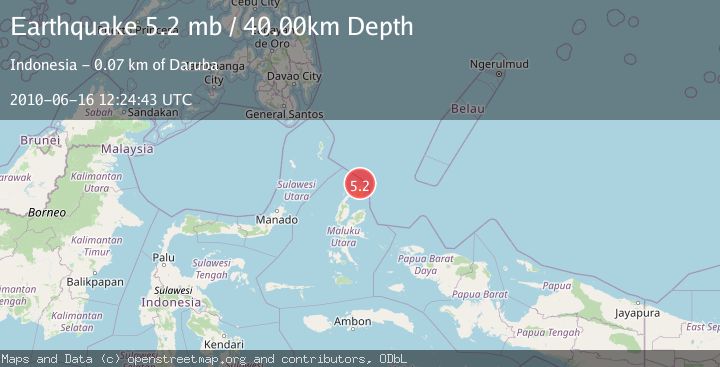
A 5.2 magnitude earthquake struck on HALMAHERA, INDONESIA, at Wed, 16 Jun 2010 12:24:43 GMT. Depth: 40km. Reviewed by EMSC seismologists, this moderate quake occurred at a magnitude type of mb.
Magnitude
5.2
mb
Source
EMSC
Intensity
-
Agency Reports
1 Sources| Source | Magnitude | Depth | Time |
|---|---|---|---|
| EMSCPrimary | 5.2 | 40 km | 15 years ago |
Earthquake Details
AutomaticEvent IDemsc_EMSC_20100616_0000039
Tsunami PotentialNo
Magnitude Typemb
Nearest Places
- Kakaibabao7.3 km
- Tanjung Sopi7.6 km
- Tanjung Modiu8.1 km
- Teluk Sopi9.4 km
- Tanjung Padangi10.4 km
Comments
Join the discussion about this event.
Latest Earthquakes
2.7Mag
Near North Coast of West Papua
Time10 minutes ago
Depth45.06 km
SourceBMKG
1.2Mag
Central Alaska
Time11 minutes ago
Depth0.85 km
SourceVYT (Automatic)
2.6Mag
West Papua Region, Indonesia
Time14 minutes ago
Depth10.00 km
SourceBMKG
2.3Mag
WESTERN TURKEY
Time17 minutes ago
Depth10.10 km
SourceKOERI (Automatic)
2.6Mag
Antofagasta, Chile
Time18 minutes ago
Depth0.00 km
SourceVYT (Automatic)
Nearby Earthquakes
3.3Mag
HALMAHERA, INDONESIA
Time1 month ago
Depth200.00 km
SourceBMKG (Automatic)
4.0Mag
HALMAHERA, INDONESIA
Time1 year ago
Depth213.00 km
SourceBMKG (Automatic)
5.0Mag
HALMAHERA, INDONESIA
Time15 years ago
Depth242.00 km
SourceEMSC (Automatic)
4.0Mag
HALMAHERA, INDONESIA
Time6 years ago
Depth10.00 km
SourceDJA (Automatic)
4.0Mag
HALMAHERA, INDONESIA
Time6 years ago
Depth20.00 km
SourceDJA (Automatic)