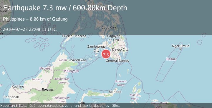
Earthquake MORO GULF, MINDANAO, PHILIPPINES
Fri, 23 Jul 2010 22:08:11 GMT
Time15 years ago
Location
6.7200, 123.4900
Depth
600.0 KM
Event Summary
A 7.3 magnitude earthquake struck on MORO GULF, MINDANAO, PHILIPPINES, at Fri, 23 Jul 2010 22:08:11 GMT. Depth: 600km. Reviewed by EMSC seismologists, this major quake occurred at a magnitude type of mw.
Magnitude
7.3
mw
Source
EMSC
Intensity
-
Agency Reports
1 Sources| Source | Magnitude | Depth | Time |
|---|---|---|---|
| EMSCPrimary | 7.3 | 600 km | 15 years ago |
Earthquake Details
AutomaticEvent IDemsc_EMSC_20100723_0000046
Tsunami PotentialNo
Magnitude Typemw
Nearest Places
- 50.4 km
- 51.2 km
- 52.1 km
- 53.1 km
- 53.1 km
Comments
Join the discussion about this event.
Latest Earthquakes
2.1Mag
western Texas
Time12 hours ago
Depth0.12 km
SourceVYT (Automatic)
2.7Mag
Seram, Indonesia
Time12 hours ago
Depth21.11 km
SourceBMKG
2.2Mag
Java, Indonesia
Time12 hours ago
Depth5.00 km
SourceBMKG
0.8Mag
WESTERN TURKEY
Time12 hours ago
Depth7.00 km
SourceAFAD (Automatic)
3.3Mag
HAWAII REGION, HAWAII
Time12 hours ago
Depth10.90 km
SourceHV (Automatic)
Nearby Earthquakes
6.5Mag
MORO GULF, MINDANAO, PHILIPPINES
Time16 years ago
Depth628.00 km
SourceEMSC (Automatic)
5.3Mag
Mindanao, Philippines
Time3 weeks ago
Depth16.19 km
SourceBMKG (Automatic)
5.1Mag
MORO GULF, MINDANAO, PHILIPPINES
Time15 years ago
Depth614.00 km
SourceEMSC (Automatic)
5.1Mag
MORO GULF, MINDANAO, PHILIPPINES
Time15 years ago
Depth625.00 km
SourceEMSC (Automatic)
4.8Mag
Mindanao, Philippines
Time3 weeks ago
Depth565.17 km
SourceBMKG (Automatic)