Earthquake MORO GULF, MINDANAO, PHILIPPINES
Thu, 29 Jul 2010 08:55:27 GMT
Time15 years ago
Location
6.5800, 123.4000
Depth
632.0 KM
Event Summary
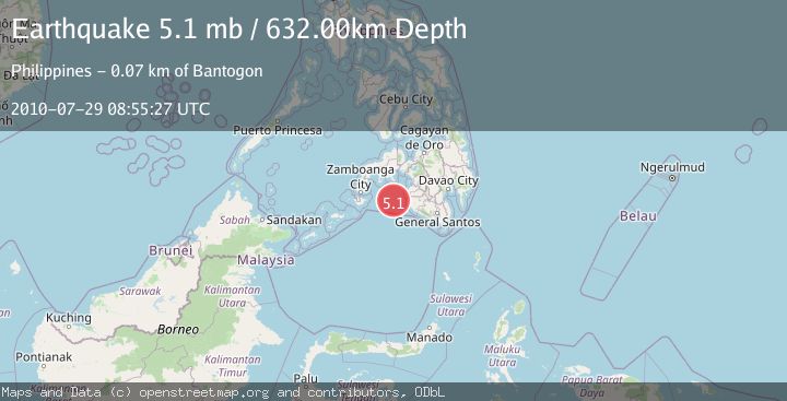
A 5.1 magnitude earthquake struck on MORO GULF, MINDANAO, PHILIPPINES, at Thu, 29 Jul 2010 08:55:27 GMT. Depth: 632km. Reviewed by EMSC seismologists, this moderate quake occurred at a magnitude type of mb.
Magnitude
5.1
mb
Source
EMSC
Intensity
-
Agency Reports
1 Sources| Source | Magnitude | Depth | Time |
|---|---|---|---|
| EMSCPrimary | 5.1 | 632 km | 15 years ago |
Earthquake Details
AutomaticEvent IDemsc_EMSC_20100729_0000022
Tsunami PotentialNo
Magnitude Typemb
Nearest Places
- 53.4 km
- 63.3 km
- 65.0 km
- 65.6 km
- 66.4 km
Comments
Join the discussion about this event.
Latest Earthquakes
1.3Mag
4 km W of Cobb, CA
Time19 hours ago
Depth1.89 km
SourceUSGS (Automatic)
2.2Mag
Sumbawa Region, Indonesia
Time19 hours ago
Depth16.37 km
SourceBMKG
1.0Mag
Northern Territory, Australia
Time19 hours ago
Depth4.27 km
SourceVYT (Automatic)
3.8Mag
Fox Islands, Aleutian Islands, Alaska
Time19 hours ago
Depth0.00 km
SourceVYT (Automatic)
1.4Mag
Tarapaca, Chile
Time19 hours ago
Depth0.00 km
SourceVYT (Automatic)
Nearby Earthquakes
6.5Mag
MORO GULF, MINDANAO, PHILIPPINES
Time15 years ago
Depth616.00 km
SourceEMSC (Automatic)
5.1Mag
MORO GULF, MINDANAO, PHILIPPINES
Time15 years ago
Depth625.00 km
SourceEMSC (Automatic)
5.3Mag
Mindanao, Philippines
Time3 weeks ago
Depth16.19 km
SourceBMKG (Automatic)
5.2Mag
MORO GULF, MINDANAO, PHILIPPINES
Time5 years ago
Depth586.00 km
SourceEMSC (Automatic)
5.0Mag
MORO GULF, MINDANAO, PHILIPPINES
Time3 weeks ago
Depth10.00 km
SourceNEIC (Automatic)