Earthquake KEPULAUAN BARAT DAYA, INDONESIA
Mon, 16 Aug 2010 18:56:12 GMT
Time15 years ago
Location
-7.5800, 128.6900
Depth
152.0 KM
Event Summary
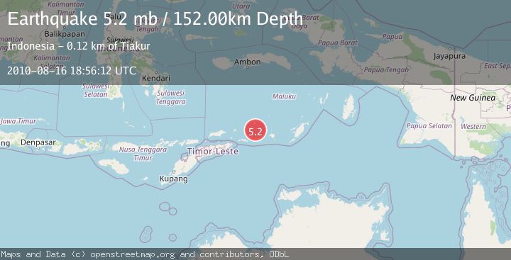
A 5.2 magnitude earthquake struck on KEPULAUAN BARAT DAYA, INDONESIA, at Mon, 16 Aug 2010 18:56:12 GMT. Depth: 152km. Reviewed by EMSC seismologists, this moderate quake occurred at a magnitude type of mb.
Magnitude
5.2
mb
Source
EMSC
Intensity
-
Agency Reports
1 Sources| Source | Magnitude | Depth | Time |
|---|---|---|---|
| EMSCPrimary | 5.2 | 152 km | 15 years ago |
Earthquake Details
AutomaticEvent IDemsc_EMSC_20100816_0000039
Tsunami PotentialNo
Magnitude Typemb
Nearest Places
- Pulau Terbang Selatan27.5 km
- Pulau Terbang Utara34.4 km
- Tanjung Paran40.7 km
- Tanjung Watlewantutu41.6 km
- Desa Wulur44.6 km
Comments
Join the discussion about this event.
Latest Earthquakes
0.6Mag
Southern Alaska
Time7 hours ago
Depth0.00 km
SourceVYT (Automatic)
2.3Mag
Antofagasta, Chile
Time7 hours ago
Depth123.90 km
SourceVYT (Automatic)
2.7Mag
Tarapaca, Chile
Time7 hours ago
Depth47.00 km
SourceVYT (Automatic)
1.3Mag
Southeastern Alaska
Time7 hours ago
Depth0.00 km
SourceVYT (Automatic)
1.3Mag
53 km N of Petersville, Alaska
Time7 hours ago
Depth126.60 km
SourceUSGS (Automatic)
Nearby Earthquakes
4.0Mag
KEPULAUAN BARAT DAYA, INDONESIA
Time1 month ago
Depth142.00 km
SourceBMKG (Automatic)
4.6Mag
Banda Sea
Time1 week ago
Depth195.76 km
SourceBMKG (Automatic)
5.1Mag
KEPULAUAN BARAT DAYA, INDONESIA
Time14 years ago
Depth152.00 km
SourceEMSC (Automatic)
5.0Mag
KEPULAUAN BARAT DAYA, INDONESIA
Time10 years ago
Depth138.00 km
SourceEMSC (Automatic)
4.0Mag
KEPULAUAN BARAT DAYA, INDONESIA
Time2 years ago
Depth164.00 km
SourceBMKG (Automatic)