Earthquake WEST OF GIBRALTAR
Tue, 08 Feb 2011 00:26:10 GMT
Time15 years ago
Location
36.7842, -9.6124
Depth
20.0 KM
Event Summary
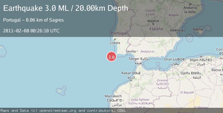
A 3.0 magnitude earthquake struck on WEST OF GIBRALTAR, at Tue, 08 Feb 2011 00:26:10 GMT. Depth: 20km. Reviewed by EMSC seismologists, this minor quake occurred at a magnitude type of ML.
Magnitude
3.0
ML
Source
EMSC
Intensity
-
Agency Reports
1 Sources| Source | Magnitude | Depth | Time |
|---|---|---|---|
| EMSCPrimary | 3.0 | 20 km | 15 years ago |
Earthquake Details
AutomaticEvent IDemsc_EMSC_20110208_0000001
Tsunami PotentialNo
Magnitude TypeML
Nearest Places
- São Vicente Canyon25.4 km
- Carlos Ribeiro Gap52.5 km
- Lagos Canyon54.8 km
- Cabo de São Vicente60.8 km
- Cabo de São Vicente Lighthouse60.9 km
Comments
Join the discussion about this event.
Latest Earthquakes
2.0Mag
Sulawesi, Indonesia
Time4 minutes ago
Depth4.77 km
SourceBMKG
3.0Mag
Northern Sumatra, Indonesia
Time6 minutes ago
Depth5.00 km
SourceBMKG
2.9Mag
Salta, Argentina
Time7 minutes ago
Depth296.51 km
SourceVYT (Automatic)
2.4Mag
Sumbawa Region, Indonesia
Time14 minutes ago
Depth20.31 km
SourceBMKG
1.2Mag
3 km N of The Geysers, CA
Time18 minutes ago
Depth1.73 km
SourceUSGS (Automatic)
Nearby Earthquakes
3.0Mag
WEST OF GIBRALTAR
Time14 years ago
Depth60.00 km
SourceEMSC (Automatic)
3.0Mag
WEST OF GIBRALTAR
Time15 years ago
Depth20.00 km
SourceEMSC (Automatic)
3.0Mag
WEST OF GIBRALTAR
Time22 years ago
Depth10.00 km
SourceEMSC (Automatic)
3.0Mag
WEST OF GIBRALTAR
Time21 years ago
Depth15.00 km
SourceEMSC (Automatic)
3.0Mag
WEST OF GIBRALTAR
Time22 years ago
Depth10.00 km
SourceEMSC (Automatic)