Earthquake KEP. TANIMBAR REGION, INDONESIA
Wed, 27 Jul 2011 05:05:57 GMT
Time14 years ago
Location
-7.7000, 130.4600
Depth
30.0 KM
Event Summary
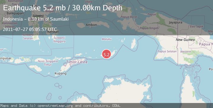
A 5.2 magnitude earthquake struck on KEP. TANIMBAR REGION, INDONESIA, at Wed, 27 Jul 2011 05:05:57 GMT. Depth: 30km. Reviewed by EMSC seismologists, this moderate quake occurred at a magnitude type of mb.
Magnitude
5.2
mb
Source
EMSC
Intensity
-
Agency Reports
1 Sources| Source | Magnitude | Depth | Time |
|---|---|---|---|
| EMSCPrimary | 5.2 | 30 km | 14 years ago |
Earthquake Details
AutomaticEvent IDemsc_EMSC_20110727_0000022
Tsunami PotentialNo
Magnitude Typemb
Nearest Places
- Barasadi39.0 km
- Desa Wiratan42.5 km
- Desa Nurnyaman43.0 km
- Pulau Daweloor43.5 km
- Kecamatan Dawelor Dawera43.6 km
Comments
Join the discussion about this event.
Latest Earthquakes
2.4Mag
Finland-Russia border region
Time17 hours ago
Depth341.92 km
SourceVYT (Automatic)
0.9Mag
8 km W of Cobb, CA
Time17 hours ago
Depth1.53 km
SourceUSGS (Automatic)
1.8Mag
Central Alaska
Time17 hours ago
Depth2.08 km
SourceVYT (Automatic)
2.9Mag
WESTERN TURKEY
Time17 hours ago
Depth11.80 km
SourceKOERI (Automatic)
2.8Mag
Sulawesi, Indonesia
Time17 hours ago
Depth21.08 km
SourceBMKG
Nearby Earthquakes
5.1Mag
KEP. TANIMBAR REGION, INDONESIA
Time18 years ago
Depth64.00 km
SourceEMSC (Automatic)
4.2Mag
Tanimbar Islands Region, Indonesia
Time1 week ago
Depth137.60 km
SourceBMKG (Automatic)
4.0Mag
KEP. TANIMBAR REGION, INDONESIA
Time2 years ago
Depth10.00 km
SourceBMKG (Automatic)
5.2Mag
KEP. TANIMBAR REGION, INDONESIA
Time16 years ago
Depth76.00 km
SourceEMSC (Automatic)
5.4Mag
KEP. TANIMBAR REGION, INDONESIA
Time16 years ago
Depth60.00 km
SourceEMSC (Automatic)