Earthquake KEP. TANIMBAR REGION, INDONESIA
Sat, 06 Feb 2010 21:26:21 GMT
Time16 years ago
Location
-7.8800, 130.5500
Depth
60.0 KM
Event Summary
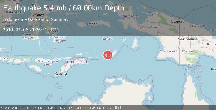
A 5.4 magnitude earthquake struck on KEP. TANIMBAR REGION, INDONESIA, at Sat, 06 Feb 2010 21:26:21 GMT. Depth: 60km. Reviewed by EMSC seismologists, this moderate quake occurred at a magnitude type of mb.
Magnitude
5.4
mb
Source
EMSC
Intensity
-
Agency Reports
1 Sources| Source | Magnitude | Depth | Time |
|---|---|---|---|
| EMSCPrimary | 5.4 | 60 km | 16 years ago |
Earthquake Details
AutomaticEvent IDemsc_EMSC_20100206_0000041
Tsunami PotentialNo
Magnitude Typemb
Nearest Places
- Barasadi28.5 km
- Watu Wawan45.5 km
- Pulau Riama45.5 km
- Pulau Ngolin46.3 km
- Labuan Olendir46.6 km
Comments
Join the discussion about this event.
Latest Earthquakes
2.6Mag
South of Java, Indonesia
Time9 hours ago
Depth5.93 km
SourceBMKG
2.7Mag
Near North Coast of West Papua
Time9 hours ago
Depth45.06 km
SourceBMKG
1.2Mag
Central Alaska
Time9 hours ago
Depth0.85 km
SourceVYT (Automatic)
2.6Mag
West Papua Region, Indonesia
Time9 hours ago
Depth10.00 km
SourceBMKG
2.3Mag
WESTERN TURKEY
Time9 hours ago
Depth10.10 km
SourceKOERI (Automatic)
Nearby Earthquakes
5.0Mag
KEP. TANIMBAR REGION, INDONESIA
Time18 years ago
Depth33.00 km
SourceEMSC (Automatic)
5.0Mag
KEP. TANIMBAR REGION, INDONESIA
Time16 years ago
Depth60.00 km
SourceEMSC (Automatic)
3.0Mag
KEP. TANIMBAR REGION, INDONESIA
Time10 months ago
Depth189.00 km
SourceBMKG (Automatic)
5.2Mag
KEP. TANIMBAR REGION, INDONESIA
Time14 years ago
Depth30.00 km
SourceEMSC (Automatic)
3.5Mag
Tanimbar Islands Region, Indonesia
Time1 week ago
Depth126.00 km
SourceBMKG (Automatic)