Earthquake SOUTH OF KERMADEC ISLANDS
Fri, 07 Oct 2011 08:58:29 GMT
Time14 years ago
Location
-32.3400, -178.8800
Depth
36.0 KM
Event Summary
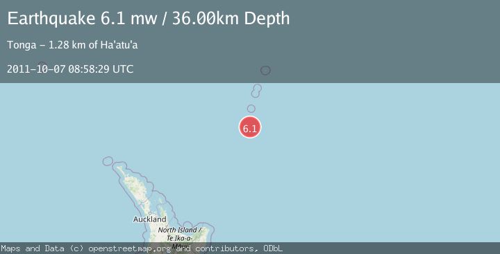
A 6.1 magnitude earthquake struck on SOUTH OF KERMADEC ISLANDS, at Fri, 07 Oct 2011 08:58:29 GMT. Depth: 36km. Reviewed by EMSC seismologists, this strong quake occurred at a magnitude type of mw.
Magnitude
6.1
mw
Source
EMSC
Intensity
-
Agency Reports
1 Sources| Source | Magnitude | Depth | Time |
|---|---|---|---|
| EMSCPrimary | 6.1 | 36 km | 14 years ago |
Earthquake Details
AutomaticEvent IDemsc_EMSC_20111007_0000018
Tsunami PotentialNo
Magnitude Typemw
Nearest Places
- Star of Bengal Bank22.4 km
- Speight Knoll66.8 km
- Oliver Knoll74.7 km
- Haungaroa Seamount77.3 km
- L'Esperance Rock100.8 km
Comments
Join the discussion about this event.
Latest Earthquakes
2.7Mag
Southern Sumatra, Indonesia
Time4 minutes ago
Depth84.28 km
SourceBMKG
2.3Mag
Halmahera, Indonesia
Time7 minutes ago
Depth8.61 km
SourceBMKG
2.0Mag
Central Alaska
Time9 minutes ago
Depth16.60 km
SourceVYT (Automatic)
2.6Mag
Sumba region, Indonesia
Time11 minutes ago
Depth0.00 km
SourceVYT (Automatic)
2.9Mag
Java, Indonesia
Time12 minutes ago
Depth130.82 km
SourceBMKG
Nearby Earthquakes
5.6Mag
SOUTH OF KERMADEC ISLANDS
Time20 years ago
Depth33.00 km
SourceEMSC (Automatic)
5.3Mag
SOUTH OF KERMADEC ISLANDS
Time4 years ago
Depth66.00 km
SourceEMSC (Automatic)
5.3Mag
SOUTH OF KERMADEC ISLANDS
Time7 years ago
Depth80.00 km
SourceEMSC (Automatic)
5.2Mag
SOUTH OF KERMADEC ISLANDS
Time14 years ago
Depth7.00 km
SourceEMSC (Automatic)
5.2Mag
SOUTH OF KERMADEC ISLANDS
Time12 years ago
Depth10.00 km
SourceEMSC (Automatic)