Earthquake SOUTH OF BALI, INDONESIA
Thu, 13 Oct 2011 07:52:48 GMT
Time14 years ago
Location
-9.6000, 114.5000
Depth
65.0 KM
Event Summary
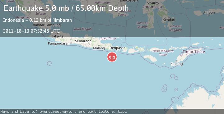
A 5.0 magnitude earthquake struck on SOUTH OF BALI, INDONESIA, at Thu, 13 Oct 2011 07:52:48 GMT. Depth: 65km. Reviewed by EMSC seismologists, this moderate quake occurred at a magnitude type of mb.
Magnitude
5.0
mb
Source
EMSC
Intensity
-
Agency Reports
1 Sources| Source | Magnitude | Depth | Time |
|---|---|---|---|
| EMSCPrimary | 5.0 | 65 km | 14 years ago |
Earthquake Details
AutomaticEvent IDemsc_EMSC_20111013_0000017
Tsunami PotentialNo
Magnitude Typemb
Nearest Places
- 91.3 km
- 92.6 km
- 93.5 km
- 93.8 km
- 95.7 km
Comments
Join the discussion about this event.
Latest Earthquakes
1.2Mag
Fox Islands, Aleutian Islands, Alaska
Time1 minute ago
Depth7.08 km
SourceVYT (Automatic)
1.1Mag
4 km W of Lake Henshaw, CA
Time6 minutes ago
Depth11.92 km
SourceUSGS (Automatic)
2.4Mag
Northern Territory, Australia
Time6 minutes ago
Depth444.34 km
SourceVYT (Automatic)
3.2Mag
Northern Molucca Sea
Time7 minutes ago
Depth35.14 km
SourceBMKG
1.3Mag
western Texas
Time8 minutes ago
Depth12.33 km
SourceVYT (Automatic)
Nearby Earthquakes
6.1Mag
SOUTH OF BALI, INDONESIA
Time14 years ago
Depth60.00 km
SourceEMSC (Automatic)
3.0Mag
SOUTH OF BALI, INDONESIA
Time4 years ago
Depth10.00 km
SourceDJA (Automatic)
5.0Mag
SOUTH OF BALI, INDONESIA
Time12 years ago
Depth65.00 km
SourceEMSC (Automatic)
3.0Mag
SOUTH OF BALI, INDONESIA
Time4 years ago
Depth10.00 km
SourceDJA (Automatic)
4.0Mag
SOUTH OF BALI, INDONESIA
Time1 year ago
Depth12.00 km
SourceBMKG (Automatic)