Earthquake SOUTH OF BALI, INDONESIA
Tue, 23 Nov 2021 19:56:57 GMT
Time4 years ago
Location
-9.3400, 114.3600
Depth
10.0 KM
Event Summary
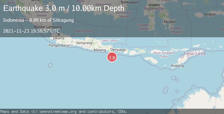
A 3.0 magnitude earthquake struck on SOUTH OF BALI, INDONESIA, at Tue, 23 Nov 2021 19:56:57 GMT. Depth: 10km. Reviewed by DJA seismologists, this minor quake occurred at a magnitude type of m.
Magnitude
3.0
m
Source
DJA
Intensity
-
Agency Reports
1 Sources| Source | Magnitude | Depth | Time |
|---|---|---|---|
| DJAPrimary | 3.0 | 10 km | 4 years ago |
Earthquake Details
AutomaticEvent IDemsc_DJA_20211123_0000257
Tsunami PotentialNo
Magnitude Typem
Nearest Places
- Pulau Batu Mandi63.8 km
- Tanjung Bantenan65.1 km
- Kali Bindo65.7 km
- Tanjung Purwo67.0 km
- Kali Karangmente67.6 km
Comments
Join the discussion about this event.
Latest Earthquakes
3.7Mag
Southern Alaska
Time18 hours ago
Depth9.77 km
SourceVYT (Automatic)
1.3Mag
7 km NE of Coso Junction, CA
Time18 hours ago
Depth5.86 km
SourceUSGS (Automatic)
1.1Mag
31 km WSW of Ackerly, Texas
Time18 hours ago
Depth3.93 km
SourceUSGS (Automatic)
2.4Mag
West Papua Region, Indonesia
Time18 hours ago
Depth10.00 km
SourceBMKG
3.3Mag
Talaud Islands, Indonesia
Time18 hours ago
Depth10.00 km
SourceBMKG
Nearby Earthquakes
4.0Mag
SOUTH OF BALI, INDONESIA
Time3 years ago
Depth10.00 km
SourceDJA (Automatic)
2.7Mag
South of Bali, Indonesia
Time0 months ago
Depth21.49 km
SourceBMKG (Automatic)
2.7Mag
South of Bali, Indonesia
Time3 days ago
Depth32.30 km
SourceBMKG
3.0Mag
SOUTH OF BALI, INDONESIA
Time1 month ago
Depth10.00 km
SourceBMKG (Automatic)
2.5Mag
SOUTH OF BALI, INDONESIA
Time1 month ago
Depth22.00 km
SourceBMKG (Automatic)