Earthquake SOUTHERN SUMATRA, INDONESIA
Tue, 29 Nov 2011 17:43:29 GMT
Time14 years ago
Location
-4.3400, 102.1300
Depth
53.0 KM
Event Summary
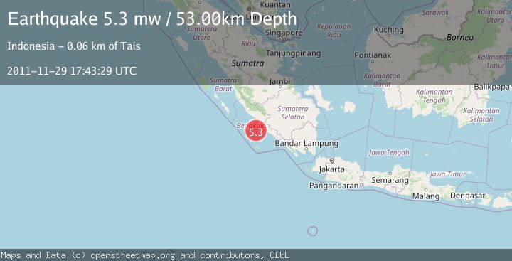
A 5.3 magnitude earthquake struck on SOUTHERN SUMATRA, INDONESIA, at Tue, 29 Nov 2011 17:43:29 GMT. Depth: 53km. Reviewed by EMSC seismologists, this moderate quake occurred at a magnitude type of mw.
Magnitude
5.3
mw
Source
EMSC
Intensity
-
Agency Reports
1 Sources| Source | Magnitude | Depth | Time |
|---|---|---|---|
| EMSCPrimary | 5.3 | 53 km | 14 years ago |
Earthquake Details
AutomaticEvent IDemsc_EMSC_20111129_0000044
Tsunami PotentialNo
Magnitude Typemw
Nearest Places
- Air Kungkauunak43.1 km
- Air Kungkai43.4 km
- Air Ngalam43.7 km
- Pasarkungkai43.8 km
- Air Kualamati43.9 km
Comments
Join the discussion about this event.
Latest Earthquakes
2.0Mag
CENTRAL CALIFORNIA
Time2 minutes ago
Depth3.10 km
SourceNC (Automatic)
2.8Mag
Sumba Region, Indonesia
Time5 minutes ago
Depth8.80 km
SourceBMKG
2.1Mag
Tarapaca, Chile
Time6 minutes ago
Depth115.11 km
SourceVYT (Automatic)
1.7Mag
35 km SSE of King Salmon, Alaska
Time7 minutes ago
Depth9.10 km
SourceUSGS (Automatic)
2.1Mag
Sweden
Time11 minutes ago
Depth0.00 km
SourceVYT (Automatic)
Nearby Earthquakes
5.1Mag
SOUTHERN SUMATRA, INDONESIA
Time14 years ago
Depth60.00 km
SourceEMSC (Automatic)
4.0Mag
SOUTHERN SUMATRA, INDONESIA
Time5 years ago
Depth10.00 km
SourceDJA (Automatic)
3.0Mag
SOUTHERN SUMATRA, INDONESIA
Time5 years ago
Depth44.00 km
SourceDJA (Automatic)
5.0Mag
SOUTHERN SUMATRA, INDONESIA
Time1 year ago
Depth37.00 km
SourceEMSC (Automatic)
5.3Mag
SOUTHERN SUMATRA, INDONESIA
Time15 years ago
Depth42.00 km
SourceEMSC (Automatic)