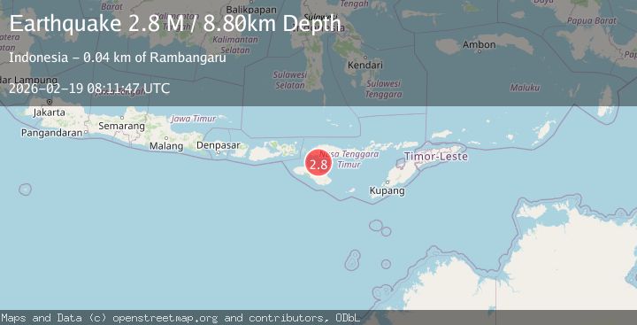
Earthquake Sumba Region, Indonesia
Thu, 19 Feb 2026 08:11:46 GMT
Time1 hour ago
Location
-9.1580, 120.1754
Depth
13.1 KM
Event Summary
A 2.6 magnitude earthquake struck on Sumba Region, Indonesia, at Thu, 19 Feb 2026 08:11:46 GMT. Depth: 13.079179km. Reviewed by BMKG seismologists, this minor quake occurred at a magnitude type of M.
Magnitude
2.6
M
Source
BMKG
Intensity
-
Agency Reports
1 Sources| Source | Magnitude | Depth | Time |
|---|---|---|---|
| BMKGPrimary | 2.6 | 13 km | 1 hour ago |
Earthquake Details
ManualEvent IDbmg2026dmdw
Tsunami PotentialNo
Magnitude TypeM
Nearest Places
- Lesser Sunda Islands26.1 km
- Toro Ontokiu28.6 km
- Tanjung Sasar29.6 km
- Kadesa30.5 km
- Tanjung Pambutuwitjukarambua30.8 km
Comments
Join the discussion about this event.
Latest Earthquakes
2.1Mag
Tarapaca, Chile
Time1 hour ago
Depth115.11 km
SourceVYT (Automatic)
1.7Mag
35 km SSE of King Salmon, Alaska
Time1 hour ago
Depth9.10 km
SourceUSGS (Automatic)
2.1Mag
Sweden
Time1 hour ago
Depth0.00 km
SourceVYT (Automatic)
2.2Mag
Minahassa Peninsula, Sulawesi
Time1 hour ago
Depth24.60 km
SourceBMKG
2.0Mag
Tarapaca, Chile
Time1 hour ago
Depth26.98 km
SourceVYT (Automatic)
Nearby Earthquakes
3.0Mag
SUMBA REGION, INDONESIA
Time2 years ago
Depth12.00 km
SourceDJA (Automatic)
4.0Mag
SUMBA REGION, INDONESIA
Time6 years ago
Depth18.00 km
SourceDJA (Automatic)
3.0Mag
SUMBA REGION, INDONESIA
Time3 months ago
Depth12.00 km
SourceBMKG (Automatic)
2.1Mag
Sumba Region, Indonesia
Time4 days ago
Depth70.45 km
SourceBMKG
2.7Mag
SUMBA REGION, INDONESIA
Time0 months ago
Depth11.00 km
SourceBMKG (Automatic)