Earthquake 35 km SSE of King Salmon, Alaska
Thu, 19 Feb 2026 08:09:19 GMT
Time1 hour ago
Location
58.3880, -156.4660
Depth
9.1 KM
Event Summary
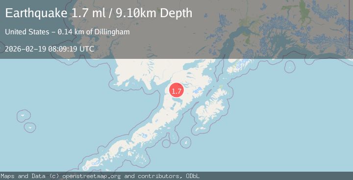
A 1.7 magnitude earthquake struck on 35 km SSE of King Salmon, Alaska, at Thu, 19 Feb 2026 08:09:19 GMT. Depth: 9.1km. Reviewed by USGS seismologists, this minor quake occurred at a magnitude type of ml.
Magnitude
1.7
ml
Source
USGS
Intensity
-
Agency Reports
1 Sources| Source | Magnitude | Depth | Time |
|---|---|---|---|
| USGSPrimary | 1.7 | 9 km | 1 hour ago |
Earthquake Details
AutomaticEvent IDusgs_aka2026dmouuj
Tsunami PotentialNo
Magnitude Typeml
Nearest Places
- Granite Creek24.9 km
- Gertrude Creek28.3 km
- Mushevik Point31.8 km
- The Lower Lagoon32.1 km
- Grassy Point33.0 km
Comments
Join the discussion about this event.
Latest Earthquakes
2.6Mag
Sumba Region, Indonesia
Time1 hour ago
Depth13.08 km
SourceBMKG
2.1Mag
Tarapaca, Chile
Time1 hour ago
Depth115.11 km
SourceVYT (Automatic)
2.1Mag
Sweden
Time1 hour ago
Depth0.00 km
SourceVYT (Automatic)
2.2Mag
Minahassa Peninsula, Sulawesi
Time1 hour ago
Depth24.60 km
SourceBMKG
2.0Mag
Tarapaca, Chile
Time1 hour ago
Depth26.98 km
SourceVYT (Automatic)
Nearby Earthquakes
1.5Mag
Alaska Peninsula
Time1 week ago
Depth0.00 km
SourceVYT (Automatic)
3.0Mag
ALASKA PENINSULA
Time4 years ago
Depth204.00 km
SourceNEIC (Automatic)
4.0Mag
ALASKA PENINSULA
Time5 years ago
Depth167.00 km
SourceNEIC (Automatic)
3.0Mag
ALASKA PENINSULA
Time4 years ago
Depth190.00 km
SourceNEIC (Automatic)
1.6Mag
55 km SSE of King Salmon, Alaska
Time1 week ago
Depth5.00 km
SourceUSGS (Automatic)