Earthquake HALMAHERA, INDONESIA
Sat, 07 Jan 2012 07:31:43 GMT
Time14 years ago
Location
1.8100, 127.5300
Depth
112.0 KM
Event Summary
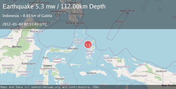
A 5.3 magnitude earthquake struck on HALMAHERA, INDONESIA, at Sat, 07 Jan 2012 07:31:43 GMT. Depth: 112km. Reviewed by EMSC seismologists, this moderate quake occurred at a magnitude type of mw.
Magnitude
5.3
mw
Source
EMSC
Intensity
-
Agency Reports
1 Sources| Source | Magnitude | Depth | Time |
|---|---|---|---|
| EMSCPrimary | 5.3 | 112 km | 14 years ago |
Earthquake Details
AutomaticEvent IDemsc_EMSC_20120107_0000014
Tsunami PotentialNo
Magnitude Typemw
Nearest Places
- Tanjung Goauku7.6 km
- Tanjung Goakadara7.6 km
- Pulau Goralamo8.2 km
- Pulau Sogiloga8.4 km
- Tanjung Pongiloi8.6 km
Comments
Join the discussion about this event.
Latest Earthquakes
2.8Mag
Antofagasta, Chile
Time6 minutes ago
Depth0.00 km
SourceVYT (Automatic)
3.3Mag
Near North Coast of West Papua
Time8 minutes ago
Depth10.00 km
SourceBMKG
2.5Mag
off the coast of Tarapaca, Chile
Time9 minutes ago
Depth0.00 km
SourceVYT (Automatic)
2.6Mag
Sunda Strait, Indonesia
Time10 minutes ago
Depth8.74 km
SourceBMKG
2.8Mag
Ceram Sea
Time10 minutes ago
Depth5.46 km
SourceBMKG
Nearby Earthquakes
5.4Mag
HALMAHERA, INDONESIA
Time11 years ago
Depth144.00 km
SourceEMSC (Automatic)
4.0Mag
HALMAHERA, INDONESIA
Time8 months ago
Depth151.00 km
SourceBMKG (Automatic)
5.1Mag
HALMAHERA, INDONESIA
Time4 years ago
Depth124.00 km
SourceEMSC (Automatic)
5.8Mag
HALMAHERA, INDONESIA
Time9 years ago
Depth140.00 km
SourceEMSC (Automatic)
4.0Mag
HALMAHERA, INDONESIA
Time4 years ago
Depth122.00 km
SourceNEIC (Automatic)