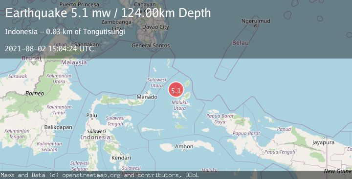
Earthquake HALMAHERA, INDONESIA
Mon, 02 Aug 2021 15:04:24 GMT
Time4 years ago
Location
1.8000, 127.4700
Depth
124.0 KM
Event Summary
A 5.1 magnitude earthquake struck on HALMAHERA, INDONESIA, at Mon, 02 Aug 2021 15:04:24 GMT. Depth: 124km. Reviewed by EMSC seismologists, this moderate quake occurred at a magnitude type of mw.
Magnitude
5.1
mw
Source
EMSC
Intensity
-
Agency Reports
1 Sources| Source | Magnitude | Depth | Time |
|---|---|---|---|
| EMSCPrimary | 5.1 | 124 km | 4 years ago |
Earthquake Details
AutomaticEvent IDemsc_EMSC_20210802_0000180
Tsunami PotentialNo
Magnitude Typemw
Nearest Places
- Pulau Tutu10.2 km
- Tanjung Tutumadehe10.5 km
- Tanjung Tobadiku-mhe11.3 km
- Pulau Moreporoco11.3 km
- Pulau Tongidi12.2 km
Comments
Join the discussion about this event.
Latest Earthquakes
2.2Mag
Seram, Indonesia
Time3 minutes ago
Depth11.12 km
SourceBMKG
2.6Mag
West Papua Region, Indonesia
Time5 minutes ago
Depth17.35 km
SourceBMKG
2.8Mag
Antofagasta, Chile
Time9 minutes ago
Depth0.00 km
SourceVYT (Automatic)
3.3Mag
Near North Coast of West Papua
Time10 minutes ago
Depth10.00 km
SourceBMKG
2.5Mag
off the coast of Tarapaca, Chile
Time11 minutes ago
Depth0.00 km
SourceVYT (Automatic)
Nearby Earthquakes
4.0Mag
HALMAHERA, INDONESIA
Time4 years ago
Depth122.00 km
SourceNEIC (Automatic)
4.0Mag
HALMAHERA, INDONESIA
Time6 years ago
Depth124.00 km
SourceNEIC (Automatic)
4.0Mag
HALMAHERA, INDONESIA
Time6 years ago
Depth123.00 km
SourceDJA (Automatic)
5.8Mag
HALMAHERA, INDONESIA
Time9 years ago
Depth140.00 km
SourceEMSC (Automatic)
5.3Mag
HALMAHERA, INDONESIA
Time14 years ago
Depth112.00 km
SourceEMSC (Automatic)