Earthquake MOLUCCA SEA
Wed, 18 Jan 2012 16:09:13 GMT
Time14 years ago
Location
-0.8800, 126.8500
Depth
46.0 KM
Event Summary
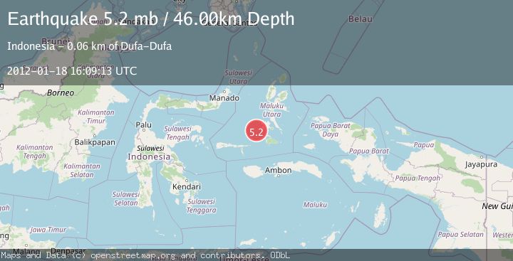
A 5.2 magnitude earthquake struck on MOLUCCA SEA, at Wed, 18 Jan 2012 16:09:13 GMT. Depth: 46km. Reviewed by EMSC seismologists, this moderate quake occurred at a magnitude type of mb.
Magnitude
5.2
mb
Source
EMSC
Intensity
-
Agency Reports
1 Sources| Source | Magnitude | Depth | Time |
|---|---|---|---|
| EMSCPrimary | 5.2 | 46 km | 14 years ago |
Earthquake Details
AutomaticEvent IDemsc_EMSC_20120118_0000052
Tsunami PotentialNo
Magnitude Typemb
Nearest Places
- Batjan Basin17.4 km
- Pulau Gegoru38.4 km
- Ayiko Salomaaki39.1 km
- Tanjung Lelai39.5 km
- Ayiko Bobo39.5 km
Comments
Join the discussion about this event.
Latest Earthquakes
2.6Mag
West Papua Region, Indonesia
Time4 minutes ago
Depth17.35 km
SourceBMKG
2.8Mag
Antofagasta, Chile
Time7 minutes ago
Depth0.00 km
SourceVYT (Automatic)
3.3Mag
Near North Coast of West Papua
Time9 minutes ago
Depth10.00 km
SourceBMKG
2.5Mag
off the coast of Tarapaca, Chile
Time10 minutes ago
Depth0.00 km
SourceVYT (Automatic)
2.6Mag
Sunda Strait, Indonesia
Time11 minutes ago
Depth8.74 km
SourceBMKG
Nearby Earthquakes
5.0Mag
MOLUCCA SEA
Time14 years ago
Depth47.00 km
SourceEMSC (Automatic)
5.6Mag
MOLUCCA SEA
Time14 years ago
Depth10.00 km
SourceEMSC (Automatic)
4.0Mag
MOLUCCA SEA
Time2 years ago
Depth10.00 km
SourceBMKG (Automatic)
5.1Mag
MOLUCCA SEA
Time14 years ago
Depth10.00 km
SourceGFZ (Automatic)
5.2Mag
MOLUCCA SEA
Time14 years ago
Depth53.00 km
SourceEMSC (Automatic)