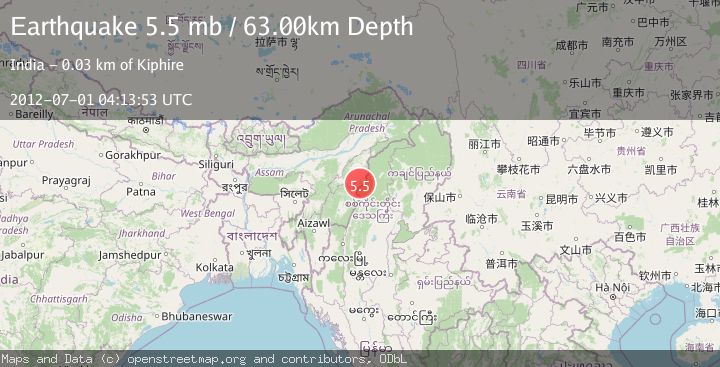
Earthquake MYANMAR-INDIA BORDER REGION
Sun, 01 Jul 2012 04:13:53 GMT
Time13 years ago
Location
25.6300, 94.7700
Depth
63.0 KM
Event Summary
A 5.5 magnitude earthquake struck on MYANMAR-INDIA BORDER REGION, at Sun, 01 Jul 2012 04:13:53 GMT. Depth: 63km. Reviewed by EMSC seismologists, this moderate quake occurred at a magnitude type of mb.
Magnitude
5.5
mb
Source
EMSC
Intensity
-
Agency Reports
1 Sources| Source | Magnitude | Depth | Time |
|---|---|---|---|
| EMSCPrimary | 5.5 | 63 km | 13 years ago |
Earthquake Details
AutomaticEvent IDemsc_EMSC_20120701_0000029
Tsunami PotentialNo
Magnitude Typemb
Nearest Places
- Weziho2.3 km
- Phokhungri5.5 km
- Phokhungri5.8 km
- Weziho8.7 km
- Laruri9.6 km
Comments
Join the discussion about this event.
Latest Earthquakes
2.1Mag
Kenai Peninsula, Alaska
Time3 minutes ago
Depth47.00 km
SourceVYT (Automatic)
2.0Mag
Antofagasta, Chile
Time9 minutes ago
Depth23.32 km
SourceVYT (Automatic)
2.8Mag
Queensland, Australia
Time10 minutes ago
Depth714.23 km
SourceVYT (Automatic)
1.1Mag
5 km S of Salcha, Alaska
Time15 minutes ago
Depth8.70 km
SourceUSGS (Automatic)
1.4Mag
CENTRAL TURKEY
Time20 minutes ago
Depth7.20 km
SourceAFAD (Automatic)
Nearby Earthquakes
4.0Mag
MYANMAR-INDIA BORDER REGION
Time0 months ago
Depth90.00 km
SourceNDI (Automatic)
5.3Mag
MYANMAR-INDIA BORDER REGION
Time20 years ago
Depth80.00 km
SourceEMSC (Automatic)
3.0Mag
MYANMAR-INDIA BORDER REGION
Time6 months ago
Depth120.00 km
SourceNDI (Automatic)
5.5Mag
MYANMAR-INDIA BORDER REGION
Time13 years ago
Depth10.00 km
SourceEMSC (Automatic)
4.0Mag
MYANMAR-INDIA BORDER REGION
Time3 years ago
Depth80.00 km
SourceNEIC (Automatic)