Earthquake MYANMAR-INDIA BORDER REGION
Thu, 22 Jan 2026 21:50:08 GMT
Time4 days ago
Location
25.7400, 94.8400
Depth
90.0 KM
Event Summary
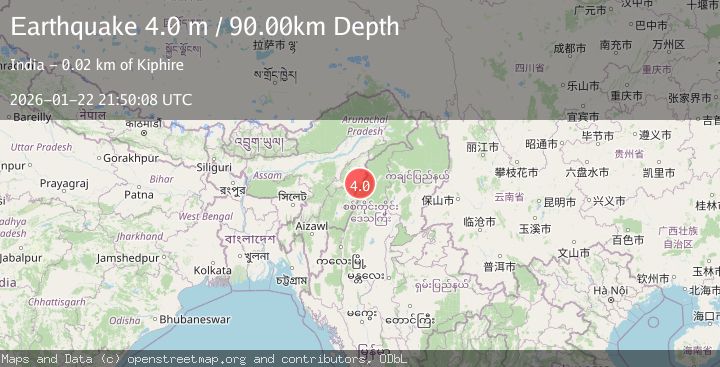
A 4.0 magnitude earthquake struck on MYANMAR-INDIA BORDER REGION, at Thu, 22 Jan 2026 21:50:08 GMT. Depth: 90km. Reviewed by NDI seismologists, this light quake occurred at a magnitude type of m.
Magnitude
4.0
m
Source
NDI
Intensity
-
Agency Reports
1 Sources| Source | Magnitude | Depth | Time |
|---|---|---|---|
| NDIPrimary | 4.0 | 90 km | 4 days ago |
Earthquake Details
AutomaticEvent IDemsc_NDI_20260122_0000388
Tsunami PotentialNo
Magnitude Typem
Comments
Join the discussion about this event.
Latest Earthquakes
3.8Mag
EASTERN TURKEY
Time9 minutes ago
Depth0.00 km
SourceKOERI (Automatic)
2.7Mag
West Papua Region, Indonesia
Time12 minutes ago
Depth14.59 km
SourceBMKG (Automatic)
2.1Mag
Flores Region, Indonesia
Time14 minutes ago
Depth10.00 km
SourceBMKG (Automatic)
3.7Mag
LA RIOJA, ARGENTINA
Time22 minutes ago
Depth119.00 km
SourceNSNA (Automatic)
2.2Mag
Savu Sea
Time23 minutes ago
Depth56.18 km
SourceBMKG (Automatic)
Nearby Earthquakes
4.2Mag
MYANMAR-INDIA BORDER REGION
Time3 days ago
Depth105.50 km
SourceNDI (Automatic)
3.9Mag
MYANMAR-INDIA BORDER REGION
Time2 days ago
Depth93.00 km
SourceNDI (Automatic)
4.4Mag
MANIPUR, INDIA REGION
Time6 days ago
Depth10.00 km
SourceNDI (Automatic)
3.0Mag
MEGHALAYA - ASSAM REGION, INDIA
Time5 days ago
Depth10.00 km
SourceNDI (Automatic)
5.1Mag
102 km SSE of Hayuliang, India
Time5 days ago
Depth10.00 km
SourceUSGS