Earthquake NEAR N COAST OF PAPUA, INDONESIA
Mon, 23 Jul 2012 00:22:04 GMT
Time13 years ago
Location
-2.4000, 135.4200
Depth
10.0 KM
Event Summary
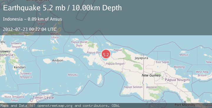
A 5.2 magnitude earthquake struck on NEAR N COAST OF PAPUA, INDONESIA, at Mon, 23 Jul 2012 00:22:04 GMT. Depth: 10km. Reviewed by EMSC seismologists, this moderate quake occurred at a magnitude type of mb.
Magnitude
5.2
mb
Source
EMSC
Intensity
-
Agency Reports
1 Sources| Source | Magnitude | Depth | Time |
|---|---|---|---|
| EMSCPrimary | 5.2 | 10 km | 13 years ago |
Earthquake Details
AutomaticEvent IDemsc_EMSC_20120723_0000001
Tsunami PotentialNo
Magnitude Typemb
Nearest Places
- Sarera Basin18.9 km
- Teluk Cenderawasih25.2 km
- Karang Gayebi34.0 km
- Pulau Rorebo51.3 km
- Numarai54.3 km
Comments
Join the discussion about this event.
Latest Earthquakes
4.6Mag
Tarapaca, Chile
Time1 hour ago
Depth115.11 km
SourceVYT (Automatic)
1.1Mag
Czech Republic
Time1 hour ago
Depth0.00 km
SourceVYT (Automatic)
2.5Mag
western Texas
Time1 hour ago
Depth0.00 km
SourceVYT (Automatic)
2.3Mag
FRANCE
Time1 hour ago
Depth5.00 km
SourceReNaSS (Automatic)
2.3Mag
FRANCE
Time1 hour ago
Depth9.20 km
SourceReNaSS (Automatic)
Nearby Earthquakes
4.0Mag
NEAR N COAST OF PAPUA, INDONESIA
Time1 year ago
Depth63.00 km
SourceBMKG (Automatic)
2.8Mag
West Papua Region, Indonesia
Time4 hours ago
Depth10.00 km
SourceBMKG
2.9Mag
NEAR N COAST OF PAPUA, INDONESIA
Time1 week ago
Depth10.00 km
SourceBMKG (Automatic)
2.8Mag
NEAR N COAST OF PAPUA, INDONESIA
Time1 month ago
Depth10.00 km
SourceBMKG (Automatic)
3.3Mag
NEAR N COAST OF PAPUA, INDONESIA
Time1 month ago
Depth10.00 km
SourceBMKG (Automatic)