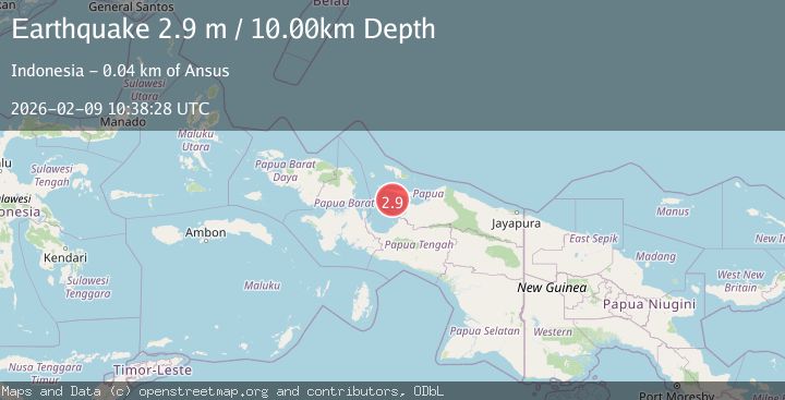
Earthquake NEAR N COAST OF PAPUA, INDONESIA
Mon, 09 Feb 2026 10:38:28 GMT
Time1 hour ago
Location
-2.0300, 135.7300
Depth
10.0 KM
Event Summary
A 2.9 magnitude earthquake struck on NEAR N COAST OF PAPUA, INDONESIA, at Mon, 09 Feb 2026 10:38:28 GMT. Depth: 10km. Reviewed by BMKG seismologists, this minor quake occurred at a magnitude type of m.
Magnitude
2.9
m
Source
BMKG
Intensity
-
Agency Reports
1 Sources| Source | Magnitude | Depth | Time |
|---|---|---|---|
| BMKGPrimary | 2.9 | 10 km | 1 hour ago |
Earthquake Details
AutomaticEvent IDemsc_BMKG_20260209_0000145
Tsunami PotentialNo
Magnitude Typem
Nearest Places
- Numarai4.7 km
- Pulau Bawei18.5 km
- Pulau-pulau Kuran18.8 km
- Koruati18.9 km
- Pulau Nuori19.8 km
Comments
Join the discussion about this event.
Latest Earthquakes
1.8Mag
9 km ENE of Calumet, Oklahoma
Time1 hour ago
Depth4.50 km
SourceUSGS (Automatic)
2.9Mag
West Papua Region, Indonesia
Time1 hour ago
Depth10.00 km
SourceBMKG (Automatic)
1.7Mag
60 km N of Chase, Alaska
Time2 hours ago
Depth81.80 km
SourceUSGS (Automatic)
4.2Mag
VIRGIN ISLANDS REGION
Time2 hours ago
Depth31.70 km
SourceNEIC (Automatic)
1.1Mag
7 km W of Cobb, CA
Time2 hours ago
Depth1.80 km
SourceUSGS (Automatic)
Nearby Earthquakes
2.5Mag
West Papua Region, Indonesia
Time2 weeks ago
Depth10.00 km
SourceBMKG (Automatic)
3.3Mag
West Papua Region, Indonesia
Time2 weeks ago
Depth33.19 km
SourceBMKG (Automatic)
2.4Mag
West Papua Region, Indonesia
Time3 days ago
Depth10.00 km
SourceBMKG (Automatic)
2.7Mag
West Papua Region, Indonesia
Time1 week ago
Depth10.00 km
SourceBMKG (Automatic)
3.0Mag
West Papua Region, Indonesia
Time3 days ago
Depth15.50 km
SourceBMKG (Automatic)