Earthquake HALMAHERA, INDONESIA
Mon, 06 Aug 2012 18:55:13 GMT
Time13 years ago
Location
2.7600, 128.4700
Depth
215.0 KM
Event Summary
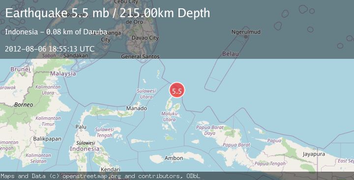
A 5.5 magnitude earthquake struck on HALMAHERA, INDONESIA, at Mon, 06 Aug 2012 18:55:13 GMT. Depth: 215km. Reviewed by EMSC seismologists, this moderate quake occurred at a magnitude type of mb.
Magnitude
5.5
mb
Source
EMSC
Intensity
-
Agency Reports
1 Sources| Source | Magnitude | Depth | Time |
|---|---|---|---|
| EMSCPrimary | 5.5 | 215 km | 13 years ago |
Earthquake Details
AutomaticEvent IDemsc_EMSC_20120806_0000053
Tsunami PotentialNo
Magnitude Typemb
Nearest Places
- Tanjung Sopi16.9 km
- Kakaibabao17.1 km
- Tanjung Modiu18.1 km
- Tanjung Padangi18.2 km
- Teluk Sopi19.1 km
Comments
Join the discussion about this event.
Latest Earthquakes
2.8Mag
West Papua Region, Indonesia
Time7 minutes ago
Depth34.12 km
SourceBMKG
3.6Mag
NORTHERN ALGERIA
Time14 minutes ago
Depth5.80 km
SourceIGN (Automatic)
2.6Mag
Java, Indonesia
Time17 minutes ago
Depth214.22 km
SourceBMKG
1.0Mag
Southeastern Alaska
Time17 minutes ago
Depth0.00 km
SourceVYT (Automatic)
3.5Mag
COOK STRAIT, NEW ZEALAND
Time18 minutes ago
Depth75.30 km
SourceGNS (Automatic)
Nearby Earthquakes
3.0Mag
HALMAHERA, INDONESIA
Time5 years ago
Depth207.00 km
SourceDJA (Automatic)
2.6Mag
HALMAHERA, INDONESIA
Time1 month ago
Depth214.00 km
SourceBMKG (Automatic)
3.4Mag
Halmahera, Indonesia
Time0 months ago
Depth197.00 km
SourceBMKG (Automatic)
5.3Mag
HALMAHERA, INDONESIA
Time12 years ago
Depth52.00 km
SourceEMSC (Automatic)
2.8Mag
HALMAHERA, INDONESIA
Time1 month ago
Depth204.00 km
SourceBMKG (Automatic)