Earthquake SUNDA STRAIT, INDONESIA
Sat, 02 Feb 2013 01:19:36 GMT
Time13 years ago
Location
-6.9900, 105.3700
Depth
56.0 KM
Event Summary
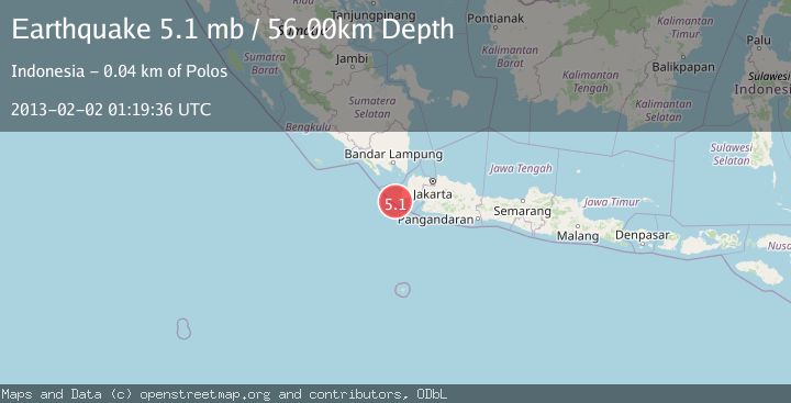
A 5.1 magnitude earthquake struck on SUNDA STRAIT, INDONESIA, at Sat, 02 Feb 2013 01:19:36 GMT. Depth: 56km. Reviewed by EMSC seismologists, this moderate quake occurred at a magnitude type of mb.
Magnitude
5.1
mb
Source
EMSC
Intensity
-
Agency Reports
1 Sources| Source | Magnitude | Depth | Time |
|---|---|---|---|
| EMSCPrimary | 5.1 | 56 km | 13 years ago |
Earthquake Details
AutomaticEvent IDemsc_EMSC_20130202_0000001
Tsunami PotentialNo
Magnitude Typemb
Nearest Places
- Tanjung Tereleng15.9 km
- Tanjung Cokur16.2 km
- Legon Keusiklega16.4 km
- Ci Banawoh17.7 km
- Tanjung Panggorak18.6 km
Comments
Join the discussion about this event.
Latest Earthquakes
0.7Mag
8 km NW of The Geysers, CA
Time7 minutes ago
Depth1.59 km
SourceUSGS (Automatic)
1.2Mag
Southern Alaska
Time8 minutes ago
Depth16.72 km
SourceVYT (Automatic)
1.6Mag
49 km W of Mentone, Texas
Time8 minutes ago
Depth4.59 km
SourceUSGS (Automatic)
3.1Mag
northern Colombia
Time10 minutes ago
Depth219.97 km
SourceVYT (Automatic)
2.2Mag
Sumbawa Region, Indonesia
Time13 minutes ago
Depth15.54 km
SourceBMKG
Nearby Earthquakes
4.0Mag
SUNDA STRAIT, INDONESIA
Time4 years ago
Depth10.00 km
SourceDJA (Automatic)
3.1Mag
SUNDA STRAIT, INDONESIA
Time0 months ago
Depth18.00 km
SourceBMKG (Automatic)
2.7Mag
Java, Indonesia
Time6 days ago
Depth19.82 km
SourceBMKG
2.8Mag
Java, Indonesia
Time1 week ago
Depth10.96 km
SourceBMKG
2.7Mag
Sunda Strait, Indonesia
Time2 weeks ago
Depth16.71 km
SourceBMKG (Automatic)