Earthquake SANTA CRUZ ISLANDS REGION
Wed, 06 Feb 2013 01:16:38 GMT
Time13 years ago
Location
-10.9600, 164.8300
Depth
10.0 KM
Event Summary
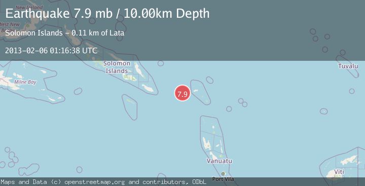
A 7.9 magnitude earthquake struck on SANTA CRUZ ISLANDS REGION, at Wed, 06 Feb 2013 01:16:38 GMT. Depth: 10km. Reviewed by EMSC seismologists, this major quake occurred at a magnitude type of mb.
Magnitude
7.9
mb
Source
EMSC
Intensity
-
Agency Reports
1 Sources| Source | Magnitude | Depth | Time |
|---|---|---|---|
| EMSCPrimary | 7.9 | 20 km | 13 years ago |
Earthquake Details
AutomaticEvent IDemsc_EMSC_20130206_0000068
Tsunami PotentialNo
Magnitude Typemb
Nearest Places
- 36.3 km
- 97.0 km
- 97.8 km
- 99.4 km
- 99.4 km
Comments
Join the discussion about this event.
Latest Earthquakes
1.5Mag
Fox Islands, Aleutian Islands, Alaska
Time6 minutes ago
Depth40.77 km
SourceVYT (Automatic)
1.3Mag
13 km SW of Searles Valley, CA
Time9 minutes ago
Depth4.25 km
SourceUSGS (Automatic)
2.7Mag
Near North Coast of West Papua
Time17 minutes ago
Depth17.60 km
SourceBMKG
1.3Mag
22 km E of Anderson, Alaska
Time18 minutes ago
Depth14.10 km
SourceUSGS (Automatic)
2.6Mag
OFFSHORE EL SALVADOR
Time19 minutes ago
Depth31.00 km
SourceINET (Automatic)
Nearby Earthquakes
5.1Mag
SANTA CRUZ ISLANDS REGION
Time13 years ago
Depth10.00 km
SourceEMSC (Automatic)
5.8Mag
SANTA CRUZ ISLANDS REGION
Time13 years ago
Depth10.00 km
SourceEMSC (Automatic)
5.5Mag
SANTA CRUZ ISLANDS REGION
Time13 years ago
Depth10.00 km
SourceEMSC (Automatic)
5.1Mag
SANTA CRUZ ISLANDS REGION
Time12 years ago
Depth30.00 km
SourceEMSC (Automatic)
5.2Mag
SANTA CRUZ ISLANDS REGION
Time13 years ago
Depth10.00 km
SourceEMSC (Automatic)