Earthquake 22 km E of Anderson, Alaska
Sun, 22 Feb 2026 09:02:45 GMT
Time1 hour ago
Location
64.3720, -148.7340
Depth
14.1 KM
Event Summary
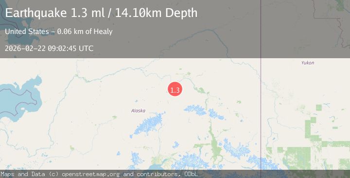
A 1.3 magnitude earthquake struck on 22 km E of Anderson, Alaska, at Sun, 22 Feb 2026 09:02:45 GMT. Depth: 14.1km. Reviewed by USGS seismologists, this minor quake occurred at a magnitude type of ml.
Magnitude
1.3
ml
Source
USGS
Intensity
-
Agency Reports
1 Sources| Source | Magnitude | Depth | Time |
|---|---|---|---|
| USGSPrimary | 1.3 | 14 km | 1 hour ago |
Earthquake Details
AutomaticEvent IDusgs_aka2026dsdtmf
Tsunami PotentialNo
Magnitude Typeml
Nearest Places
- 17.4 km
- 17.8 km
- 18.4 km
- 19.4 km
- 19.5 km
Comments
Join the discussion about this event.
Latest Earthquakes
2.5Mag
Near North Coast of West Papua
Time1 hour ago
Depth44.85 km
SourceBMKG
2.6Mag
West Papua Region, Indonesia
Time1 hour ago
Depth10.00 km
SourceBMKG
0.6Mag
2 km NW of The Geysers, CA
Time1 hour ago
Depth3.79 km
SourceUSGS (Automatic)
3.2Mag
Peru-Bolivia border region
Time1 hour ago
Depth139.65 km
SourceVYT (Automatic)
3.4Mag
Panama-Colombia border region
Time1 hour ago
Depth10.00 km
SourceVYT (Automatic)
Nearby Earthquakes
1.3Mag
12 km SSE of Nenana, Alaska
Time3 weeks ago
Depth1.80 km
SourceUSGS (Automatic)
3.0Mag
CENTRAL ALASKA
Time2 years ago
Depth22.00 km
SourceNEIC (Automatic)
3.0Mag
CENTRAL ALASKA
Time11 months ago
Depth15.90 km
SourceNEIC (Automatic)
4.0Mag
CENTRAL ALASKA
Time1 year ago
Depth115.10 km
SourceAK (Automatic)
2.6Mag
17 km ENE of Ferry, Alaska
Time1 month ago
Depth5.00 km
SourceUSGS