Earthquake NEAR N COAST OF PAPUA, INDONESIA
Wed, 13 Feb 2013 21:30:35 GMT
Time13 years ago
Location
-2.0500, 139.0500
Depth
30.0 KM
Event Summary
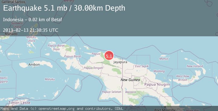
A 5.1 magnitude earthquake struck on NEAR N COAST OF PAPUA, INDONESIA, at Wed, 13 Feb 2013 21:30:35 GMT. Depth: 30km. Reviewed by EMSC seismologists, this moderate quake occurred at a magnitude type of mb.
Magnitude
5.1
mb
Source
EMSC
Intensity
-
Agency Reports
1 Sources| Source | Magnitude | Depth | Time |
|---|---|---|---|
| EMSCPrimary | 5.1 | 30 km | 13 years ago |
Earthquake Details
AutomaticEvent IDemsc_EMSC_20130213_0000069
Tsunami PotentialNo
Magnitude Typemb
Nearest Places
- Masi-masi2.6 km
- Kampung Timron3.3 km
- Kampung Dabe Dua4.8 km
- Kedir5.2 km
- Kampung Keder Lama5.5 km
Comments
Join the discussion about this event.
Latest Earthquakes
2.9Mag
Seram, Indonesia
Time5 minutes ago
Depth15.78 km
SourceBMKG
2.2Mag
Java, Indonesia
Time6 minutes ago
Depth115.38 km
SourceBMKG
1.4Mag
7 km NW of The Geysers, CA
Time10 minutes ago
Depth1.65 km
SourceUSGS (Automatic)
1.1Mag
7 km NE of San Jacinto, CA
Time15 minutes ago
Depth16.11 km
SourceUSGS (Automatic)
1.4Mag
CENTRAL TURKEY
Time21 minutes ago
Depth7.00 km
SourceAFAD (Automatic)
Nearby Earthquakes
5.1Mag
NEAR N COAST OF PAPUA, INDONESIA
Time7 years ago
Depth30.00 km
SourceEMSC (Automatic)
4.0Mag
NEAR N COAST OF PAPUA, INDONESIA
Time1 month ago
Depth29.00 km
SourceBMKG (Automatic)
5.7Mag
NEAR N COAST OF PAPUA, INDONESIA
Time19 years ago
Depth10.00 km
SourceEMSC (Automatic)
3.0Mag
NEAR N COAST OF PAPUA, INDONESIA
Time2 months ago
Depth23.00 km
SourceBMKG (Automatic)
3.0Mag
NEAR N COAST OF PAPUA, INDONESIA
Time6 months ago
Depth22.00 km
SourceBMKG (Automatic)