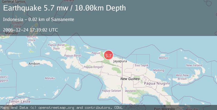
Earthquake NEAR N COAST OF PAPUA, INDONESIA
Sun, 24 Dec 2006 17:39:02 GMT
Time19 years ago
Location
-2.0900, 139.0300
Depth
10.0 KM
Event Summary
A 5.7 magnitude earthquake struck on NEAR N COAST OF PAPUA, INDONESIA, at Sun, 24 Dec 2006 17:39:02 GMT. Depth: 10km. Reviewed by EMSC seismologists, this moderate quake occurred at a magnitude type of mw.
Magnitude
5.7
mw
Source
EMSC
Intensity
-
Agency Reports
1 Sources| Source | Magnitude | Depth | Time |
|---|---|---|---|
| EMSCPrimary | 5.7 | 10 km | 19 years ago |
Earthquake Details
AutomaticEvent IDemsc_EMSC_20061224_0000077
Tsunami PotentialNo
Magnitude Typemw
Nearest Places
- Kampung Dabe Dua0.1 km
- Sungai Sief2.5 km
- Kampung Keder Lama4.5 km
- Sungai Unk6.5 km
- Masi-masi7.5 km
Comments
Join the discussion about this event.
Latest Earthquakes
0.7Mag
8 km NW of The Geysers, CA
Time7 minutes ago
Depth1.59 km
SourceUSGS (Automatic)
1.2Mag
Southern Alaska
Time8 minutes ago
Depth16.72 km
SourceVYT (Automatic)
1.6Mag
49 km W of Mentone, Texas
Time9 minutes ago
Depth4.59 km
SourceUSGS (Automatic)
3.1Mag
northern Colombia
Time10 minutes ago
Depth219.97 km
SourceVYT (Automatic)
2.2Mag
Sumbawa Region, Indonesia
Time13 minutes ago
Depth15.54 km
SourceBMKG
Nearby Earthquakes
5.1Mag
NEAR N COAST OF PAPUA, INDONESIA
Time13 years ago
Depth30.00 km
SourceEMSC (Automatic)
3.4Mag
Near North Coast of West Papua
Time1 week ago
Depth24.37 km
SourceBMKG
4.0Mag
PAPUA, INDONESIA
Time6 years ago
Depth10.00 km
SourceDJA (Automatic)
5.1Mag
NEAR N COAST OF PAPUA, INDONESIA
Time7 years ago
Depth30.00 km
SourceEMSC (Automatic)
4.0Mag
NEAR N COAST OF PAPUA, INDONESIA
Time1 month ago
Depth29.00 km
SourceBMKG (Automatic)