Earthquake NEAR S COAST OF PAPUA, INDONESIA
Thu, 14 Feb 2013 16:52:16 GMT
Time13 years ago
Location
-4.4000, 135.2900
Depth
30.0 KM
Event Summary
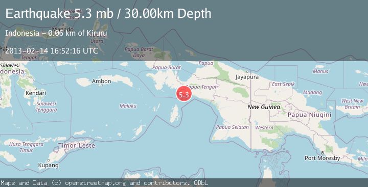
A 5.3 magnitude earthquake struck on NEAR S COAST OF PAPUA, INDONESIA, at Thu, 14 Feb 2013 16:52:16 GMT. Depth: 30km. Reviewed by EMSC seismologists, this moderate quake occurred at a magnitude type of mb.
Magnitude
5.3
mb
Source
EMSC
Intensity
-
Agency Reports
1 Sources| Source | Magnitude | Depth | Time |
|---|---|---|---|
| EMSCPrimary | 5.3 | 30 km | 13 years ago |
Earthquake Details
AutomaticEvent IDemsc_EMSC_20130214_0000064
Tsunami PotentialNo
Magnitude Typemb
Nearest Places
- Umari6.8 km
- Aiduna7.2 km
- Umar8.7 km
- Sungai Taporomae8.7 km
- Sungai Namarepi8.9 km
Comments
Join the discussion about this event.
Latest Earthquakes
2.2Mag
Central Alaska
Time2 minutes ago
Depth9.77 km
SourceVYT (Automatic)
2.3Mag
Sulawesi, Indonesia
Time6 minutes ago
Depth0.00 km
SourceVYT (Automatic)
3.5Mag
northern Colombia
Time8 minutes ago
Depth205.20 km
SourceVYT (Automatic)
1.8Mag
Southern California
Time8 minutes ago
Depth22.83 km
SourceVYT (Automatic)
2.1Mag
CENTRAL TURKEY
Time8 minutes ago
Depth5.00 km
SourceKOERI (Automatic)
Nearby Earthquakes
4.0Mag
NEAR S COAST OF PAPUA, INDONESIA
Time5 years ago
Depth750.00 km
SourceDJA (Automatic)
3.6Mag
West Papua Region, Indonesia
Time5 days ago
Depth10.00 km
SourceBMKG
4.1Mag
NEAR S COAST OF PAPUA, INDONESIA
Time1 month ago
Depth11.00 km
SourceBMKG (Automatic)
3.0Mag
West Papua Region, Indonesia
Time0 months ago
Depth13.42 km
SourceBMKG (Automatic)
4.0Mag
NEAR S COAST OF PAPUA, INDONESIA
Time1 year ago
Depth28.00 km
SourceBMKG (Automatic)