Earthquake PHILIPPINE ISLANDS REGION
Sat, 16 Feb 2013 15:25:23 GMT
Time13 years ago
Location
6.0000, 127.4800
Depth
50.0 KM
Event Summary
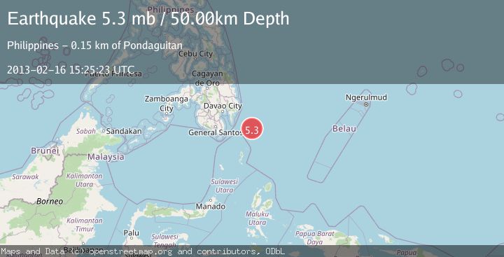
A 5.3 magnitude earthquake struck on PHILIPPINE ISLANDS REGION, at Sat, 16 Feb 2013 15:25:23 GMT. Depth: 50km. Reviewed by EMSC seismologists, this moderate quake occurred at a magnitude type of mb.
Magnitude
5.3
mb
Source
EMSC
Intensity
-
Agency Reports
1 Sources| Source | Magnitude | Depth | Time |
|---|---|---|---|
| EMSCPrimary | 5.3 | 50 km | 13 years ago |
Earthquake Details
AutomaticEvent IDemsc_EMSC_20130216_0000061
Tsunami PotentialNo
Magnitude Typemb
Nearest Places
- Tanjung Dapapa109.7 km
- Desa Pulau Miangas110.7 km
- Kecamatan Miangas110.7 km
- Pulau Miangas110.7 km
- Miangas111.4 km
Comments
Join the discussion about this event.
Latest Earthquakes
3.1Mag
Caribbean Sea
Time12 minutes ago
Depth226.81 km
SourceVYT (Automatic)
3.4Mag
West Papua Region, Indonesia
Time20 minutes ago
Depth54.58 km
SourceBMKG
3.8Mag
near the north coast of Colombia
Time24 minutes ago
Depth0.00 km
SourceVYT (Automatic)
2.6Mag
Minahasa, Sulawesi, Indonesia
Time25 minutes ago
Depth0.00 km
SourceVYT (Automatic)
2.5Mag
TARAPACA, CHILE
Time36 minutes ago
Depth51.40 km
SourceCSN (Automatic)
Nearby Earthquakes
3.0Mag
PHILIPPINE ISLANDS REGION
Time2 months ago
Depth15.00 km
SourcePIVS (Automatic)
5.2Mag
PHILIPPINE ISLANDS REGION
Time15 years ago
Depth76.00 km
SourceEMSC (Automatic)
3.0Mag
PHILIPPINE ISLANDS REGION
Time9 months ago
Depth149.00 km
SourcePIVS (Automatic)
4.0Mag
PHILIPPINE ISLANDS REGION
Time4 years ago
Depth27.00 km
SourcePIVS (Automatic)
3.0Mag
PHILIPPINE ISLANDS REGION
Time1 year ago
Depth148.00 km
SourcePIVS (Automatic)