Earthquake KEPULAUAN ALOR, INDONESIA
Mon, 10 Feb 2014 18:06:18 GMT
Time12 years ago
Location
-8.1400, 124.6100
Depth
15.0 KM
Event Summary
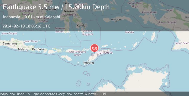
A 5.5 magnitude earthquake struck on KEPULAUAN ALOR, INDONESIA, at Mon, 10 Feb 2014 18:06:18 GMT. Depth: 15km. Reviewed by EMSC seismologists, this moderate quake occurred at a magnitude type of mw.
Magnitude
5.5
mw
Source
EMSC
Intensity
-
Agency Reports
1 Sources| Source | Magnitude | Depth | Time |
|---|---|---|---|
| EMSCPrimary | 5.5 | 15 km | 12 years ago |
Earthquake Details
AutomaticEvent IDemsc_EMSC_20140210_0000100
Tsunami PotentialNo
Magnitude Typemw
Nearest Places
- Tanjung Sika1.6 km
- Alor Island Airport1.7 km
- Alu Mali1.8 km
- Taman Wisata Pantai Mali1.9 km
- Mali2.2 km
Comments
Join the discussion about this event.
Latest Earthquakes
2.3Mag
Sulawesi, Indonesia
Time3 minutes ago
Depth0.00 km
SourceVYT (Automatic)
3.5Mag
northern Colombia
Time5 minutes ago
Depth205.20 km
SourceVYT (Automatic)
1.8Mag
Southern California
Time5 minutes ago
Depth22.83 km
SourceVYT (Automatic)
2.7Mag
Halmahera, Indonesia
Time9 minutes ago
Depth92.18 km
SourceBMKG
2.6Mag
Poland
Time10 minutes ago
Depth5.00 km
SourceVYT (Automatic)
Nearby Earthquakes
5.0Mag
KEPULAUAN ALOR, INDONESIA
Time21 years ago
Depth33.00 km
SourceEMSC (Automatic)
3.2Mag
KEPULAUAN ALOR, INDONESIA
Time0 months ago
Depth208.00 km
SourceBMKG (Automatic)
5.3Mag
KEPULAUAN ALOR, INDONESIA
Time21 years ago
Depth33.00 km
SourceEMSC (Automatic)
3.0Mag
KEPULAUAN ALOR, INDONESIA
Time3 years ago
Depth10.00 km
SourceDJA (Automatic)
2.7Mag
Timor Region
Time2 weeks ago
Depth2.63 km
SourceBMKG (Automatic)