Earthquake MOLUCCA SEA
Mon, 24 Feb 2014 21:56:05 GMT
Time11 years ago
Location
0.6100, 126.1500
Depth
46.0 KM
Event Summary
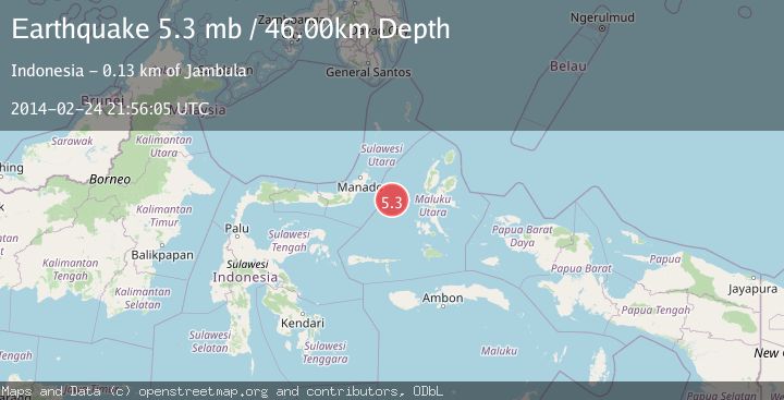
A 5.3 magnitude earthquake struck on MOLUCCA SEA, at Mon, 24 Feb 2014 21:56:05 GMT. Depth: 46km. Reviewed by EMSC seismologists, this moderate quake occurred at a magnitude type of mb.
Magnitude
5.3
mb
Source
EMSC
Intensity
-
Agency Reports
1 Sources| Source | Magnitude | Depth | Time |
|---|---|---|---|
| EMSCPrimary | 5.3 | 46 km | 11 years ago |
Earthquake Details
AutomaticEvent IDemsc_EMSC_20140224_0000065
Tsunami PotentialNo
Magnitude Typemb
Nearest Places
- Maluku Sea20.7 km
- Kelurahan Tifure39.9 km
- Pulau Tifore40.4 km
- Kelurahan Pantai Sagu40.9 km
- Pulau Gureda41.9 km
Comments
Join the discussion about this event.
Latest Earthquakes
4.5Mag
Central Alaska
Time1 minute ago
Depth7.81 km
SourceVYT (Automatic)
1.9Mag
1 km SSW of Pāhala, Hawaii
Time5 minutes ago
Depth28.47 km
SourceUSGS (Automatic)
1.5Mag
5 km NW of The Geysers, CA
Time6 minutes ago
Depth2.47 km
SourceUSGS (Automatic)
0.3Mag
10 km WNW of The Geysers, CA
Time8 minutes ago
Depth2.50 km
SourceUSGS (Automatic)
2.5Mag
Central Alaska
Time10 minutes ago
Depth112.55 km
SourceVYT (Automatic)
Nearby Earthquakes
5.1Mag
MOLUCCA SEA
Time4 years ago
Depth45.00 km
SourceEMSC (Automatic)
3.5Mag
MOLUCCA SEA
Time1 month ago
Depth10.00 km
SourceBMKG (Automatic)
3.0Mag
MOLUCCA SEA
Time4 years ago
Depth10.00 km
SourceDJA (Automatic)
5.3Mag
MOLUCCA SEA
Time15 years ago
Depth20.00 km
SourceEMSC (Automatic)
5.1Mag
MOLUCCA SEA
Time11 years ago
Depth8.00 km
SourceEMSC (Automatic)