Earthquake MORO GULF, MINDANAO, PHILIPPINES
Tue, 02 Dec 2014 05:11:32 GMT
Time11 years ago
Location
6.2800, 123.2000
Depth
626.0 KM
Event Summary
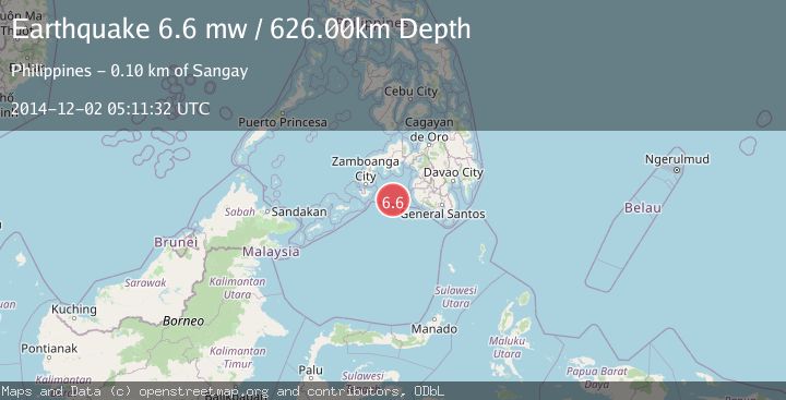
A 6.6 magnitude earthquake struck on MORO GULF, MINDANAO, PHILIPPINES, at Tue, 02 Dec 2014 05:11:32 GMT. Depth: 626km. Reviewed by EMSC seismologists, this strong quake occurred at a magnitude type of mw.
Magnitude
6.6
mw
Source
EMSC
Intensity
-
Agency Reports
1 Sources| Source | Magnitude | Depth | Time |
|---|---|---|---|
| EMSCPrimary | 6.6 | 626 km | 11 years ago |
Earthquake Details
AutomaticEvent IDemsc_EMSC_20141202_0000017
Tsunami PotentialNo
Magnitude Typemw
Nearest Places
- 62.6 km
- 67.1 km
- 84.5 km
- 91.0 km
- 93.1 km
Comments
Join the discussion about this event.
Latest Earthquakes
2.1Mag
Poland
Time4 hours ago
Depth0.00 km
SourceVYT (Automatic)
1.9Mag
Southern Alaska
Time4 hours ago
Depth73.85 km
SourceVYT (Automatic)
2.4Mag
Antofagasta, Chile
Time4 hours ago
Depth101.68 km
SourceVYT (Automatic)
2.2Mag
Seram, Indonesia
Time4 hours ago
Depth23.26 km
SourceBMKG
3.3Mag
Banda Sea
Time4 hours ago
Depth737.79 km
SourceVYT (Automatic)
Nearby Earthquakes
7.1Mag
MORO GULF, MINDANAO, PHILIPPINES
Time1 year ago
Depth620.10 km
SourceEMSC (Automatic)
3.0Mag
MORO GULF, MINDANAO, PHILIPPINES
Time2 months ago
Depth33.00 km
SourcePIVS (Automatic)
4.8Mag
Mindanao, Philippines
Time1 month ago
Depth10.00 km
SourceBMKG (Automatic)
6.5Mag
MORO GULF, MINDANAO, PHILIPPINES
Time15 years ago
Depth616.00 km
SourceEMSC (Automatic)
5.2Mag
MORO GULF, MINDANAO, PHILIPPINES
Time5 years ago
Depth586.00 km
SourceEMSC (Automatic)