Earthquake MORO GULF, MINDANAO, PHILIPPINES
Fri, 12 Dec 2025 20:51:04 GMT
Time2 months ago
Location
6.4600, 123.2600
Depth
33.0 KM
Event Summary
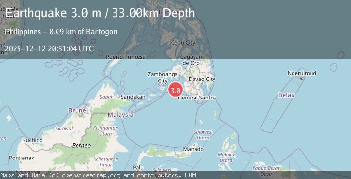
A 3.0 magnitude earthquake struck on MORO GULF, MINDANAO, PHILIPPINES, at Fri, 12 Dec 2025 20:51:04 GMT. Depth: 33km. Reviewed by PIVS seismologists, this minor quake occurred at a magnitude type of m.
Magnitude
3.0
m
Source
PIVS
Intensity
-
Agency Reports
1 Sources| Source | Magnitude | Depth | Time |
|---|---|---|---|
| PIVSPrimary | 3.0 | 33 km | 2 months ago |
Earthquake Details
AutomaticEvent IDemsc_PIVS_20251212_0000387
Tsunami PotentialNo
Magnitude Typem
Nearest Places
- 52.0 km
- 60.2 km
- 80.5 km
- 82.5 km
- 84.3 km
Comments
Join the discussion about this event.
Latest Earthquakes
2.9Mag
Albania
Time3 hours ago
Depth7.20 km
SourceVYT (Automatic)
4.7Mag
Andreanof Islands, Aleutian Islands, Alaska
Time3 hours ago
Depth35.28 km
SourceVYT (Automatic)
3.9Mag
Tarapaca, Chile
Time3 hours ago
Depth114.50 km
SourceVYT (Automatic)
1.2Mag
2 km SSE of The Geysers, CA
Time3 hours ago
Depth1.32 km
SourceUSGS (Automatic)
3.1Mag
Alaska Peninsula
Time3 hours ago
Depth23.32 km
SourceVYT (Automatic)
Nearby Earthquakes
6.5Mag
MORO GULF, MINDANAO, PHILIPPINES
Time15 years ago
Depth616.00 km
SourceEMSC (Automatic)
5.1Mag
MORO GULF, MINDANAO, PHILIPPINES
Time15 years ago
Depth632.00 km
SourceEMSC (Automatic)
6.6Mag
MORO GULF, MINDANAO, PHILIPPINES
Time11 years ago
Depth626.00 km
SourceEMSC (Automatic)
5.5Mag
MORO GULF, MINDANAO, PHILIPPINES
Time15 years ago
Depth633.00 km
SourceEMSC (Automatic)
5.2Mag
MORO GULF, MINDANAO, PHILIPPINES
Time5 years ago
Depth586.00 km
SourceEMSC (Automatic)