Earthquake KEPULAUAN BABAR, INDONESIA
Wed, 11 Nov 2015 23:36:21 GMT
Time10 years ago
Location
-7.1900, 129.0300
Depth
149.0 KM
Event Summary
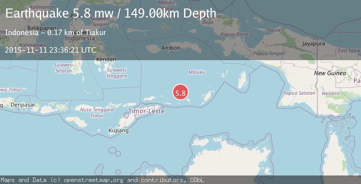
A 5.8 magnitude earthquake struck on KEPULAUAN BABAR, INDONESIA, at Wed, 11 Nov 2015 23:36:21 GMT. Depth: 149km. Reviewed by EMSC seismologists, this moderate quake occurred at a magnitude type of mw.
Magnitude
5.8
mw
Source
EMSC
Intensity
-
Agency Reports
1 Sources| Source | Magnitude | Depth | Time |
|---|---|---|---|
| EMSCPrimary | 5.8 | 149 km | 10 years ago |
Earthquake Details
AutomaticEvent IDemsc_EMSC_20151111_0000103
Tsunami PotentialNo
Magnitude Typemw
Nearest Places
- Layoni25.4 km
- Isu25.8 km
- Pulau-pulau Damar26.1 km
- Mesa27.0 km
- Pulau Teun27.4 km
Comments
Join the discussion about this event.
Latest Earthquakes
1.0Mag
Southeastern Alaska
Time6 minutes ago
Depth0.00 km
SourceVYT (Automatic)
3.5Mag
COOK STRAIT, NEW ZEALAND
Time7 minutes ago
Depth75.30 km
SourceGNS (Automatic)
2.5Mag
Seram, Indonesia
Time9 minutes ago
Depth21.28 km
SourceBMKG
2.6Mag
West Papua Region, Indonesia
Time11 minutes ago
Depth17.35 km
SourceBMKG
5.0Mag
CENTRAL MID-ATLANTIC RIDGE
Time12 minutes ago
Depth10.00 km
SourceEMSC (Automatic)
Nearby Earthquakes
4.0Mag
KEPULAUAN BARAT DAYA, INDONESIA
Time1 month ago
Depth235.00 km
SourceBMKG (Automatic)
5.2Mag
KEPULAUAN BARAT DAYA, INDONESIA
Time3 years ago
Depth158.00 km
SourceEMSC (Automatic)
5.1Mag
KEPULAUAN BABAR, INDONESIA
Time11 years ago
Depth186.00 km
SourceEMSC (Automatic)
5.3Mag
KEPULAUAN BABAR, INDONESIA
Time9 months ago
Depth165.80 km
SourceEMSC (Automatic)
4.0Mag
KEPULAUAN BABAR, INDONESIA
Time4 years ago
Depth171.00 km
SourceDJA (Automatic)