Earthquake BANDA SEA
Sun, 17 Jan 2016 15:30:04 GMT
Time10 years ago
Location
-5.4600, 130.2500
Depth
147.0 KM
Event Summary
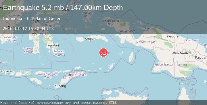
A 5.2 magnitude earthquake struck on BANDA SEA, at Sun, 17 Jan 2016 15:30:04 GMT. Depth: 147km. Reviewed by EMSC seismologists, this moderate quake occurred at a magnitude type of mb.
Magnitude
5.2
mb
Source
EMSC
Intensity
-
Agency Reports
1 Sources| Source | Magnitude | Depth | Time |
|---|---|---|---|
| EMSCPrimary | 5.2 | 147 km | 10 years ago |
Earthquake Details
AutomaticEvent IDemsc_EMSC_20160117_0000055
Tsunami PotentialNo
Magnitude Typemb
Nearest Places
- Pulau Manuk11.1 km
- Karang Hatta94.0 km
- Tanjung Buton97.5 km
- Banda Trench97.5 km
- Lesluru97.8 km
Comments
Join the discussion about this event.
Latest Earthquakes
2.6Mag
Java, Indonesia
Time11 minutes ago
Depth214.22 km
SourceBMKG
1.0Mag
Southeastern Alaska
Time12 minutes ago
Depth0.00 km
SourceVYT (Automatic)
3.5Mag
COOK STRAIT, NEW ZEALAND
Time13 minutes ago
Depth75.30 km
SourceGNS (Automatic)
2.5Mag
Seram, Indonesia
Time14 minutes ago
Depth21.28 km
SourceBMKG
2.6Mag
West Papua Region, Indonesia
Time17 minutes ago
Depth17.35 km
SourceBMKG
Nearby Earthquakes
4.0Mag
BANDA SEA
Time6 years ago
Depth173.00 km
SourceDJA (Automatic)
5.3Mag
BANDA SEA
Time2 years ago
Depth10.00 km
SourceEMSC (Automatic)
5.0Mag
BANDA SEA
Time15 years ago
Depth10.00 km
SourceEMSC (Automatic)
5.1Mag
BANDA SEA
Time2 years ago
Depth10.00 km
SourceEMSC (Automatic)
4.0Mag
BANDA SEA
Time2 years ago
Depth136.00 km
SourceDJA (Automatic)