Earthquake SUNDA STRAIT, INDONESIA
Fri, 12 Aug 2016 07:17:17 GMT
Time9 years ago
Location
-6.4700, 104.9400
Depth
72.0 KM
Event Summary
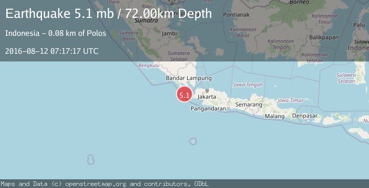
A 5.1 magnitude earthquake struck on SUNDA STRAIT, INDONESIA, at Fri, 12 Aug 2016 07:17:17 GMT. Depth: 72km. Reviewed by EMSC seismologists, this moderate quake occurred at a magnitude type of mb.
Magnitude
5.1
mb
Source
EMSC
Intensity
-
Agency Reports
1 Sources| Source | Magnitude | Depth | Time |
|---|---|---|---|
| EMSCPrimary | 5.1 | 72 km | 9 years ago |
Earthquake Details
AutomaticEvent IDemsc_EMSC_20160812_0000049
Tsunami PotentialNo
Magnitude Typemb
Nearest Places
- Ci Panaitan22.8 km
- Tanjung Baturendang23.2 km
- Legon Mandar24.1 km
- Pulau Waton24.1 km
- Tanjung Waton25.4 km
Comments
Join the discussion about this event.
Latest Earthquakes
2.7Mag
Tarapaca, Chile
Time3 hours ago
Depth10.50 km
SourceVYT (Automatic)
2.8Mag
Flores Sea
Time3 hours ago
Depth187.74 km
SourceVYT (Automatic)
1.4Mag
7 km ESE of Wrightwood, CA
Time3 hours ago
Depth11.86 km
SourceUSGS (Automatic)
1.4Mag
Tarapaca, Chile
Time3 hours ago
Depth13.06 km
SourceVYT (Automatic)
1.2Mag
47 km ESE of McCarthy, Alaska
Time3 hours ago
Depth4.30 km
SourceUSGS (Automatic)
Nearby Earthquakes
3.0Mag
SUNDA STRAIT, INDONESIA
Time2 years ago
Depth10.00 km
SourceDJA (Automatic)
4.0Mag
SUNDA STRAIT, INDONESIA
Time2 years ago
Depth10.00 km
SourceDJA (Automatic)
2.9Mag
SUNDA STRAIT, INDONESIA
Time1 month ago
Depth18.00 km
SourceBMKG (Automatic)
2.7Mag
Sunda Strait, Indonesia
Time5 days ago
Depth16.04 km
SourceBMKG
5.0Mag
SUNDA STRAIT, INDONESIA
Time1 year ago
Depth50.00 km
SourceEMSC (Automatic)