Earthquake Sunda Strait, Indonesia
Fri, 13 Feb 2026 01:15:04 GMT
Time5 days ago
Location
-6.4341, 104.8662
Depth
16.0 KM
Event Summary
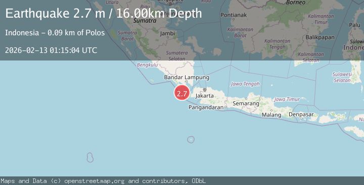
A 2.7 magnitude earthquake struck on Sunda Strait, Indonesia, at Fri, 13 Feb 2026 01:15:04 GMT. Depth: 16.035517km. Reviewed by BMKG seismologists, this minor quake occurred at a magnitude type of M.
Magnitude
2.7
M
Source
BMKG
Intensity
-
Agency Reports
1 Sources| Source | Magnitude | Depth | Time |
|---|---|---|---|
| BMKGPrimary | 2.7 | 16 km | 5 days ago |
Earthquake Details
ManualEvent IDbmg2026darc
Tsunami PotentialNo
Magnitude TypeM
Nearest Places
- Cukuredak Seamount27.9 km
- Ci Panaitan31.7 km
- Tanjung Baturendang32.3 km
- Pulau Waton32.9 km
- Legon Mandar32.9 km
Comments
Join the discussion about this event.
Latest Earthquakes
2.7Mag
Near North Coast of West Papua
Time9 minutes ago
Depth45.06 km
SourceBMKG
1.2Mag
Central Alaska
Time10 minutes ago
Depth0.85 km
SourceVYT (Automatic)
2.6Mag
West Papua Region, Indonesia
Time12 minutes ago
Depth10.00 km
SourceBMKG
2.3Mag
WESTERN TURKEY
Time15 minutes ago
Depth10.10 km
SourceKOERI (Automatic)
2.6Mag
Antofagasta, Chile
Time17 minutes ago
Depth0.00 km
SourceVYT (Automatic)
Nearby Earthquakes
3.0Mag
SUNDA STRAIT, INDONESIA
Time2 years ago
Depth10.00 km
SourceDJA (Automatic)
4.0Mag
SUNDA STRAIT, INDONESIA
Time2 years ago
Depth10.00 km
SourceDJA (Automatic)
3.0Mag
SUNDA STRAIT, INDONESIA
Time2 years ago
Depth10.00 km
SourceDJA (Automatic)
5.1Mag
SUNDA STRAIT, INDONESIA
Time9 years ago
Depth72.00 km
SourceEMSC (Automatic)
2.9Mag
SUNDA STRAIT, INDONESIA
Time1 month ago
Depth18.00 km
SourceBMKG (Automatic)