Earthquake SUNDA STRAIT, INDONESIA
Fri, 12 Aug 2016 08:30:10 GMT
Time9 years ago
Location
-6.3500, 105.0500
Depth
76.0 KM
Event Summary
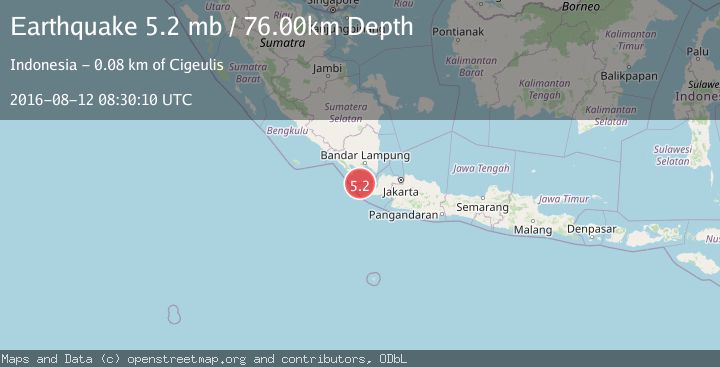
A 5.2 magnitude earthquake struck on SUNDA STRAIT, INDONESIA, at Fri, 12 Aug 2016 08:30:10 GMT. Depth: 76km. Reviewed by EMSC seismologists, this moderate quake occurred at a magnitude type of mb.
Magnitude
5.2
mb
Source
EMSC
Intensity
-
Agency Reports
1 Sources| Source | Magnitude | Depth | Time |
|---|---|---|---|
| EMSCPrimary | 5.2 | 76 km | 9 years ago |
Earthquake Details
AutomaticEvent IDemsc_EMSC_20160812_0000061
Tsunami PotentialNo
Magnitude Typemb
Nearest Places
- Cukuredak Seamount22.4 km
- Tanjung Kadam24.1 km
- Legon Kadam26.3 km
- Tanjung Panyalatan26.5 km
- Pasir Darahayu26.7 km
Comments
Join the discussion about this event.
Latest Earthquakes
2.7Mag
Near North Coast of West Papua
Time4 hours ago
Depth45.06 km
SourceBMKG
1.2Mag
Central Alaska
Time4 hours ago
Depth0.85 km
SourceVYT (Automatic)
2.6Mag
West Papua Region, Indonesia
Time4 hours ago
Depth10.00 km
SourceBMKG
2.3Mag
WESTERN TURKEY
Time4 hours ago
Depth10.10 km
SourceKOERI (Automatic)
2.6Mag
Antofagasta, Chile
Time4 hours ago
Depth0.00 km
SourceVYT (Automatic)
Nearby Earthquakes
4.0Mag
SUNDA STRAIT, INDONESIA
Time5 years ago
Depth10.00 km
SourceDJA (Automatic)
3.0Mag
SUNDA STRAIT, INDONESIA
Time11 months ago
Depth29.00 km
SourceBMKG (Automatic)
2.9Mag
SUNDA STRAIT, INDONESIA
Time1 month ago
Depth18.00 km
SourceBMKG (Automatic)
5.4Mag
SUNDA STRAIT, INDONESIA
Time7 years ago
Depth55.00 km
SourceEMSC (Automatic)
3.0Mag
SUNDA STRAIT, INDONESIA
Time1 year ago
Depth25.00 km
SourceBMKG (Automatic)